File:Beverley Road - Haworth Arms - geograph.org.uk - 39701.jpg
Jump to navigation
Jump to search
No higher resolution available.
Beverley_Road_-_Haworth_Arms_-_geograph.org.uk_-_39701.jpg (640 × 480 pixels, file size: 103 KB, MIME type: image/jpeg)
Captions
Captions
Add a one-line explanation of what this file represents
Summary[edit]
| Description |
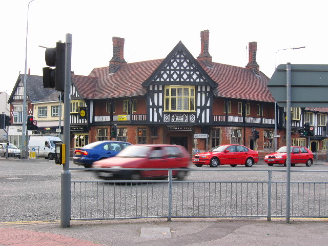
English: Haworth Arms - Beverley Road, Hull, East Riding of Yorkshire, England. This busy road junction is just about in the centre of the grid square. Beverley Road runs north to Beverley and south to Hull City centre. Cottingham Road runs west to Hull University in the adjacent square. Clough Road runs east into the industrial and retail area. Throughout the square there are large and small houses, plenty of shops and public houses. Seen here on the corner of Cottingham Road is the Haworth Arms, a popular watering hole for students and residents alike. |
| Date | |
| Source | From geograph.org.uk |
| Author | Stephen Horncastle |
| Permission (Reusing this file) |
Creative Commons Attribution Share-alike license 2.0 |
| Attribution (required by the license) | Stephen Horncastle / Beverley Road - Haworth Arms / |
| Object location | | View this and other nearby images on: OpenStreetMap |
|---|
_&language=en)
Licensing[edit]

|
This image was taken from the Geograph project collection. See this photograph's page on the Geograph website for the photographer's contact details. The copyright on this image is owned by Stephen Horncastle and is licensed for reuse under the Creative Commons Attribution-ShareAlike 2.0 license.
|
This file is licensed under the Creative Commons Attribution-Share Alike 2.0 Generic license.
Attribution: Stephen Horncastle
- You are free:
- to share – to copy, distribute and transmit the work
- to remix – to adapt the work
- Under the following conditions:
- attribution – You must give appropriate credit, provide a link to the license, and indicate if changes were made. You may do so in any reasonable manner, but not in any way that suggests the licensor endorses you or your use.
- share alike – If you remix, transform, or build upon the material, you must distribute your contributions under the same or compatible license as the original.
File history
Click on a date/time to view the file as it appeared at that time.
| Date/Time | Thumbnail | Dimensions | User | Comment | |
|---|---|---|---|---|---|
| current | 12:28, 30 January 2010 | | 640 × 480 (103 KB) | GeographBot (talk | contribs) | == {{int:filedesc}} == {{Information |description={{en|1=Beverley Road - Haworth Arms. This busy road junction is just about in the centre of the grid square. Beverley Road runs north to Beverley and south to Hull City centre. Cottingham Road runs west to |
You cannot overwrite this file.
File usage on Commons
There are no pages that use this file.
File usage on other wikis
The following other wikis use this file:
- Usage on en.wikipedia.org