File:South Sudan adm location map.svg

Original file (SVG file, nominally 1,561 × 1,133 pixels, file size: 201 KB)
Captions
Captions
Summary[edit]
| Description |
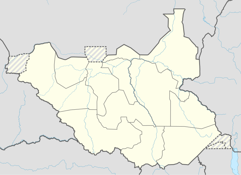
Deutsch: Positionskarte von Südsudan
English: Location map of South Sudan
|
||||||||||||
| Date | |||||||||||||
| Source |
Own work using:
|
||||||||||||
| Author | NordNordWest | ||||||||||||
| Other versions |
|
||||||||||||
_adm_location_map.svg)
_adm_location_map.svg)


|
This map has been made or improved in the German Kartenwerkstatt (Map Lab). You can propose maps to improve as well.
|
Licensing[edit]
Usage of this file with:

explanatory notes: Legally binding is only the full legalcode. For a free usage I recommend to respect the following licence conditions:
1. Provide my name as given above: NordNordWest,
2. a copy of, or the URI for, the applicable license: https://creativecommons.org/licenses/by-sa/3.0/de/legalcode,
3. the title of the work,
4. in the case of an adaptation, a credit identifying the use of the work in the adaptation.
This license and the rights granted hereunder will terminate automatically upon any breach by you of the terms of this license. Any of the above conditions can be waived if you get permission from the copyright holder. If you have questions or wish differing conditions, please contact me through nnwest or my discussion page ![]() t-online.de
t-online.de
- You are free:
- to share – to copy, distribute and transmit the work
- to remix – to adapt the work
- Under the following conditions:
- attribution – You must give appropriate credit, provide a link to the license, and indicate if changes were made. You may do so in any reasonable manner, but not in any way that suggests the licensor endorses you or your use.
- share alike – If you remix, transform, or build upon the material, you must distribute your contributions under the same or compatible license as the original.

File history
Click on a date/time to view the file as it appeared at that time.
| Date/Time | Thumbnail | Dimensions | User | Comment | |
|---|---|---|---|---|---|
| current | 18:25, 23 April 2020 | | 1,561 × 1,133 (201 KB) | Leviavery (talk | contribs) | Added Pibor and Ruweng Administrative Areas |
| 16:16, 25 February 2020 |  | 1,561 × 1,133 (199 KB) | Myrabert01 (talk | contribs) | Reverted to version as of 13:47, 25 February 2020 (UTC) South Sudan revert back to 10 States. https://www.aljazeera.com/news/2020/02/6-years-war-peace-finally-south-sudan-200223114919537.html | |
| 14:39, 25 February 2020 |  | 1,561 × 1,133 (213 KB) | NordNordWest (talk | contribs) | Reverted to version as of 14:39, 13 August 2016 (UTC); no reason for this revert | |
| 13:47, 25 February 2020 |  | 1,561 × 1,133 (199 KB) | Myrabert01 (talk | contribs) | Reverted to version as of 18:18, 12 November 2014 (UTC). South Sudan revert back to 10 States. | |
| 14:39, 13 August 2016 |  | 1,561 × 1,133 (213 KB) | NordNordWest (talk | contribs) | corr | |
| 12:31, 12 August 2016 |  | 1,561 × 1,133 (214 KB) | NordNordWest (talk | contribs) | upd, new states | |
| 18:18, 12 November 2014 |  | 1,561 × 1,133 (199 KB) | NordNordWest (talk | contribs) | == {{int:filedesc}} == {{Information |Description= {{de|1=Positionskarte von Südsudan}} {{en|1=Location map of South Sudan}} {{Location map series N |stretching=101 |top=12.7 |bottom=3.2 |left=23.15 |right=36.4 }} |Source={{Own using}} * United States... |
You cannot overwrite this file.
File usage on Commons
The following 7 pages use this file:
File usage on other wikis
The following other wikis use this file:
- Usage on ab.wikipedia.org
- Usage on af.wikipedia.org
- Usage on an.wikipedia.org
- Usage on av.wikipedia.org
- Usage on azb.wikipedia.org
- Usage on az.wikipedia.org
- Usage on be.wikipedia.org
- Usage on bg.wikipedia.org
- Usage on bn.wikipedia.org
- Usage on bs.wikipedia.org
- Usage on ceb.wikipedia.org
View more global usage of this file.