File:Štrbské pleso Vysoké Tatry.jpg
Jump to navigation
Jump to search

Size of this preview: 800 × 597 pixels. Other resolutions: 320 × 239 pixels | 640 × 478 pixels | 1,024 × 765 pixels | 1,280 × 956 pixels | 2,048 × 1,529 pixels.
Original file (2,048 × 1,529 pixels, file size: 467 KB, MIME type: image/jpeg)
Captions
Captions
Add a one-line explanation of what this file represents
Summary[edit]
| Description |
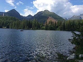
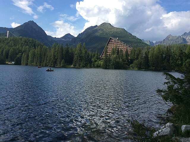
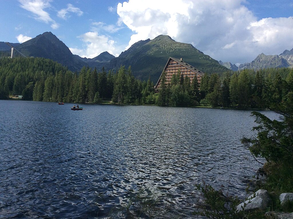
Čeština: Štrbské pleso je nejtypičtější morénové ledovcové jezero, pleso na jižní straně Vysokých Tater na Slovensku. Nachází se v místě, kde se spojují Furkotská a Mlynická dolina na konci hřebenu Soliska a je druhé největší na slovenské straně. Leží ve nadmořské výšce 1346,6 m. Má rozlohu 19,67 ha, je 640 m dlouhé a 600 m široké. |
| Date | |
| Source | Own work |
| Author | Radimvadim |
| Camera location | | View this and other nearby images on: OpenStreetMap |
|---|
Licensing[edit]
I, the copyright holder of this work, hereby publish it under the following license:
This file is licensed under the Creative Commons Attribution-Share Alike 4.0 International license.
- You are free:
- to share – to copy, distribute and transmit the work
- to remix – to adapt the work
- Under the following conditions:
- attribution – You must give appropriate credit, provide a link to the license, and indicate if changes were made. You may do so in any reasonable manner, but not in any way that suggests the licensor endorses you or your use.
- share alike – If you remix, transform, or build upon the material, you must distribute your contributions under the same or compatible license as the original.
File history
Click on a date/time to view the file as it appeared at that time.
| Date/Time | Thumbnail | Dimensions | User | Comment | |
|---|---|---|---|---|---|
| current | 19:39, 6 January 2019 | | 2,048 × 1,529 (467 KB) | Radimvadim (talk | contribs) | User created page with UploadWizard |
You cannot overwrite this file.
File usage on Commons
There are no pages that use this file.