File:吐玉泉.JPG
From Wikimedia Commons, the free media repository
Jump to navigation
Jump to search
Size of this preview: 800 × 422 pixels. Other resolutions: 320 × 169 pixels | 640 × 337 pixels | 1,024 × 540 pixels | 1,916 × 1,010 pixels.
Original file (1,916 × 1,010 pixels, file size: 853 KB, MIME type: image/jpeg)
File information
Structured data
Captions
Summary
[edit]Description吐玉泉.JPG |
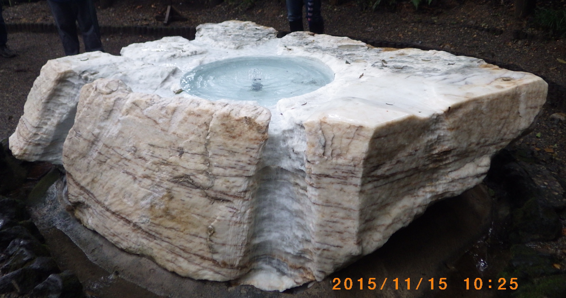
日本語: 偕楽園の表門から大杉森、孟宗竹林を抜けた南西の崖下にある |
Date | |
Source | Own work |
Author | 今井おさむ |
Camera location | 36° 22′ 31.38″ N, 140° 27′ 04.32″ E | View this and other nearby images on: OpenStreetMap | 36.375383; 140.451200 |
---|
Licensing
[edit]I, the copyright holder of this work, hereby publish it under the following license:
This file is licensed under the Creative Commons Attribution-Share Alike 4.0 International license.
- You are free:
- to share – to copy, distribute and transmit the work
- to remix – to adapt the work
- Under the following conditions:
- attribution – You must give appropriate credit, provide a link to the license, and indicate if changes were made. You may do so in any reasonable manner, but not in any way that suggests the licensor endorses you or your use.
- share alike – If you remix, transform, or build upon the material, you must distribute your contributions under the same or compatible license as the original.
File history
Click on a date/time to view the file as it appeared at that time.
Date/Time | Thumbnail | Dimensions | User | Comment | |
---|---|---|---|---|---|
current | 07:43, 15 November 2015 | 1,916 × 1,010 (853 KB) | 今井おさむ (talk | contribs) | User created page with UploadWizard |
You cannot overwrite this file.
File usage on Commons
There are no pages that use this file.
Metadata
This file contains additional information such as Exif metadata which may have been added by the digital camera, scanner, or software program used to create or digitize it. If the file has been modified from its original state, some details such as the timestamp may not fully reflect those of the original file. The timestamp is only as accurate as the clock in the camera, and it may be completely wrong.
Camera manufacturer | RICOH IMAGING COMPANY, LTD. |
---|---|
Camera model | RICOH WG-4 GPS |
Exposure time | 1/50 sec (0.02) |
F-number | f/2.4 |
ISO speed rating | 250 |
Date and time of data generation | 10:25, 15 November 2015 |
Lens focal length | 5.9 mm |
Latitude | 36° 22′ 31.38″ N |
Longitude | 140° 27′ 4.32″ E |
Altitude | 79.132 meters above sea level |
Orientation | Normal |
Software used | RICOH WG-4 GPS Ver. 1.00 |
File change date and time | 10:25, 15 November 2015 |
Y and C positioning | Co-sited |
Exif version | 2.3 |
Date and time of digitizing | 10:25, 15 November 2015 |
Meaning of each component |
|
APEX exposure bias | 0 |
Metering mode | Pattern |
Flash | Flash did not fire, compulsory flash suppression |
DateTimeOriginal subseconds | 00 |
DateTimeDigitized subseconds | 00 |
Supported Flashpix version | 1 |
Color space | sRGB |
Custom image processing | Normal process |
Exposure mode | Auto exposure |
White balance | Auto white balance |
Digital zoom ratio | 1 |
Focal length in 35 mm film | 33 mm |
Scene capture type | Standard |
Contrast | Normal |
Saturation | Normal |
Sharpness | Normal |
Subject distance range | Distant view |
GPS time (atomic clock) | 01:20 |
Satellites used for measurement | 00 |
Receiver status | Measurement interoperability |
Measurement mode | 3-dimensional measurement |
Reference for direction of image | True direction |
Direction of image | 325.19 |
Geodetic survey data used | WGS-84 |
GPS date | 15 November 2015 |
GPS tag version | 0.0.2.2 |