File:012 125 Iles Mingan.jpg
Jump to navigation
Jump to search
Size of this preview: 800 × 499 pixels. Other resolutions: 320 × 200 pixels | 640 × 400 pixels | 1,024 × 639 pixels | 1,280 × 799 pixels | 2,560 × 1,598 pixels | 4,117 × 2,570 pixels.
Original file (4,117 × 2,570 pixels, file size: 6.13 MB, MIME type: image/jpeg)
Captions
Captions
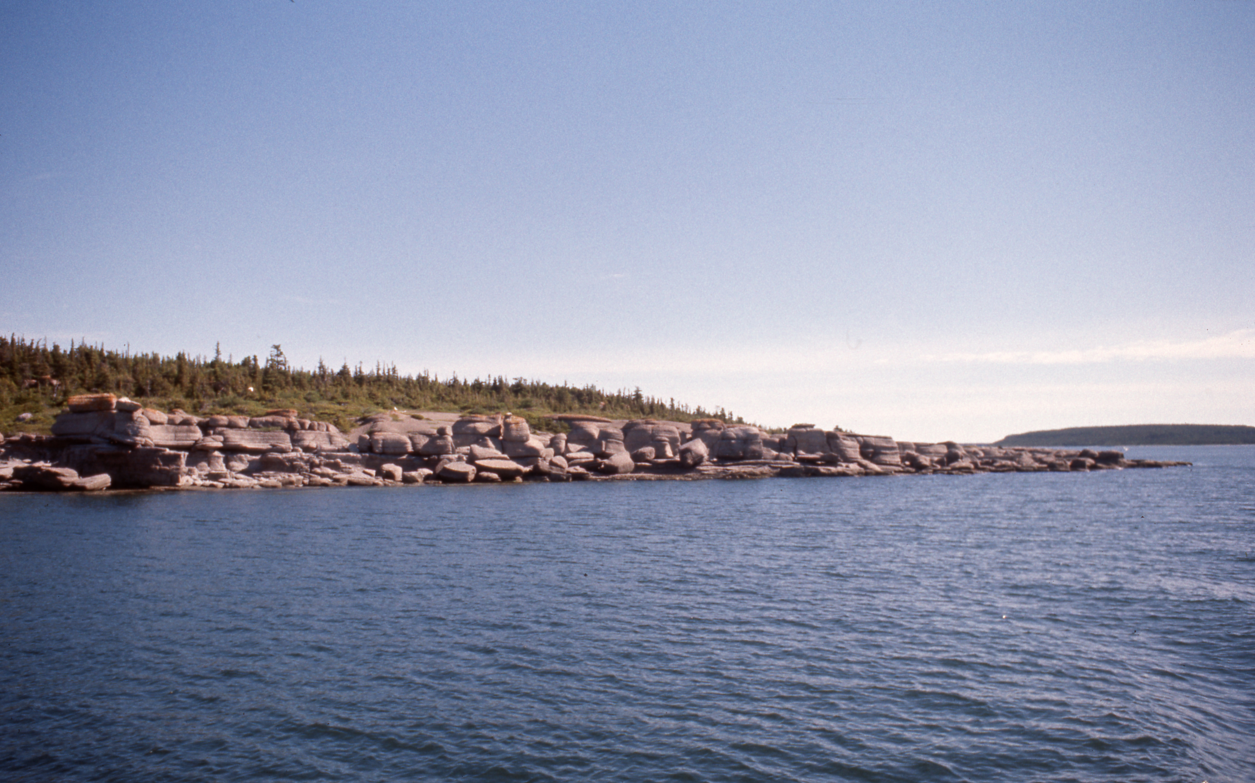
Gulf of St. Lawrence, Mingan Archipelago, islands, monoliths, cold shoreline vegetation
Summary
[edit]
| Description |
English: 50° 15' 49.59"N - -63° 32' 57.0"W, Air Tunilik geolocation, Lac des Plaines base, views of the Mingan Archipelago National Park Reserve from an Air Saguenay seaplane, piloted by "Maringouin", a type of Drummondville, islands of the Mingan Archipelago, limestone formations, boreal forest, Gulf of St. Lawrence, Thursday, July 22, 1976
Français : 50° 15' 49.59"N - -63° 32' 57.0"O, géolocalisation Air Tunilik, base du Lac des Plaines, vues sur la Réserve de parc national de l'Archipel-de-Mingan d'un hydravion d’Air Saguenay, piloté par « Maringouin », un type de Drummondville, îles de l'archipel de Mingan, formations calcaires, forêt boréale, golfe Saint-Laurent, le jeudi 22 juillet 1976 |
| Date | |
| Source | Own work |
| Author | Nichole Ouellette |
| Camera location | | View this and other nearby images on: OpenStreetMap |
|---|
- More infos/photos, same author: ouellette001.com/
Hydrobase Havre-Saint-Pierre 1976
- Québec en photos – Réserve de parc national de l'Archipel-de-Mingan juillet 1976
- Golfe du Saint-Laurent, d’un hydravion
- Vue aérienne, Îles - îlots - rochers - cayes – récifs
- Sud de l'île Quarry, Îles - îlots - rochers - cayes – récifs
- Vue aérienne, Minéralier (fer et titane) au large de Havre-Saint-Pierre
D'un hydravion piloté par « Maringouin », un type de Drummondville, Air Saguenay, hydrobase de Havre-Saint-Pierre, lac des Plaines, dit Lac d'avion, le jeudi 22 juillet 1976
Licensing
[edit]
I, the copyright holder of this work, hereby publish it under the following license:
This file is licensed under the Creative Commons Attribution-Share Alike 4.0 International license.
- You are free:
- to share – to copy, distribute and transmit the work
- to remix – to adapt the work
- Under the following conditions:
- attribution – You must give appropriate credit, provide a link to the license, and indicate if changes were made. You may do so in any reasonable manner, but not in any way that suggests the licensor endorses you or your use.
- share alike – If you remix, transform, or build upon the material, you must distribute your contributions under the same or compatible license as the original.
File history
Click on a date/time to view the file as it appeared at that time.
| Date/Time | Thumbnail | Dimensions | User | Comment | |
|---|---|---|---|---|---|
| current | 16:45, 14 January 2024 | | 4,117 × 2,570 (6.13 MB) | Nichole Ouellette (talk | contribs) | Uploaded own work with UploadWizard |
You cannot overwrite this file.
File usage on Commons
There are no pages that use this file.
File usage on other wikis
The following other wikis use this file:
- Usage on en.wikipedia.org
- Usage on fr.wikipedia.org