File:1754 Tartaria map.jpg
Jump to navigation
Jump to search
Size of this preview: 644 × 599 pixels. Other resolutions: 258 × 240 pixels | 516 × 480 pixels | 706 × 657 pixels.
Original file (706 × 657 pixels, file size: 140 KB, MIME type: image/jpeg)
Captions
Captions
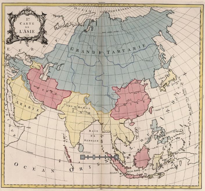
The Empire of Tartary in 1754
Summary
[edit]
| Description |
English: Tartary, Persia, India and China |
| Date | |
| Source | Le Carte De Asie 1754 |
| Author | Palairet, Jean |
Licensing
[edit]
|
This work is in the public domain in its country of origin and other countries and areas where the copyright term is the author's life plus 100 years or fewer. This work is in the public domain in the United States because it was published (or registered with the U.S. Copyright Office) before January 1, 1929. | |
| This file has been identified as being free of known restrictions under copyright law, including all related and neighboring rights. | |
File history
Click on a date/time to view the file as it appeared at that time.
| Date/Time | Thumbnail | Dimensions | User | Comment | |
|---|---|---|---|---|---|
| current | 21:43, 9 March 2019 | | 706 × 657 (140 KB) | Mountain157 (talk | contribs) | User created page with UploadWizard |
You cannot overwrite this file.
File usage on Commons
There are no pages that use this file.
File usage on other wikis
The following other wikis use this file: