File:1789 - Neueste Karte Von Der Moldau, Walachei, Bessarabien Und Der Krim.jpg
Jump to navigation
Jump to search

Size of this preview: 651 × 600 pixels. Other resolutions: 260 × 240 pixels | 521 × 480 pixels | 833 × 768 pixels | 1,111 × 1,024 pixels | 2,222 × 2,048 pixels | 6,022 × 5,550 pixels.
Original file (6,022 × 5,550 pixels, file size: 10.81 MB, MIME type: image/jpeg)
Captions
Captions
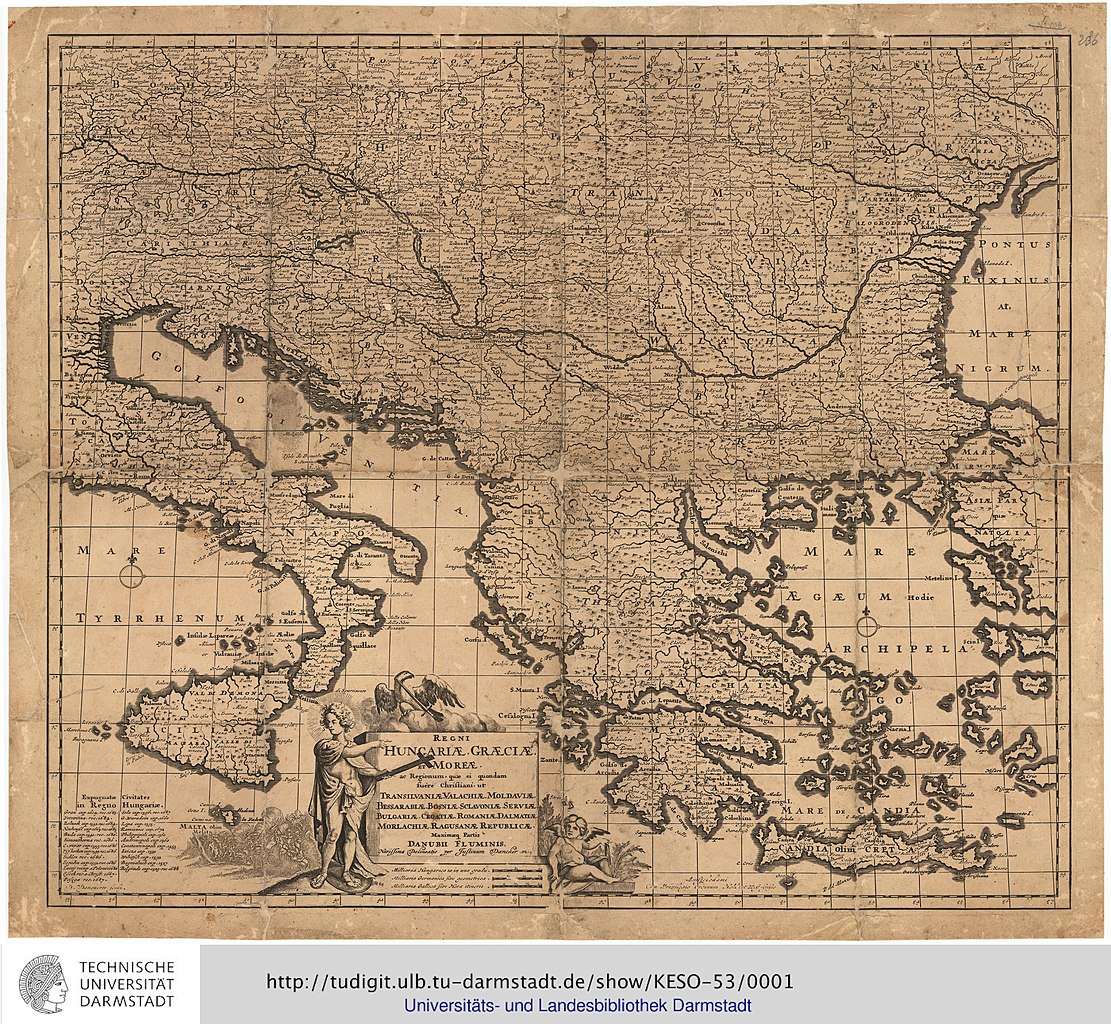
Neueste Karte Von Der Moldau, Walachei, Bessarabien Und Der Krim
Summary[edit]
| Description |
English: Neueste Karte Von Der Moldau, Walachei, Bessarabien Und Der Krim : Samt den angraenzenden Provinzen Siebenbürgen, Bukowina, einen grosen Theil von Ungarn, Galizien, Polen, Tatarei, Neurusland Und Bulgarien = Carte Nouvelle De La Moldavie, Valakie, Bessarabie, Et De La Crimèe / Nach den besten Orginalzeichnungen und Karten von General Bauer und H. J. F. Schmid, entworfen von H. C. Schütz, u. gestochen v. F. Müller
http://tudigit.ulb.tu-darmstadt.de/show/KESO-53 |
| Date | |
| Source | http://tudigit.ulb.tu-darmstadt.de/show/Gr-Fol-09_129 |
| Author | Blaeu, Joan; Adrichem, Christiaan van der ; Blaeu [Verl.] |
| Other versions |

Licensing[edit]
|
This work is in the public domain in its country of origin and other countries and areas where the copyright term is the author's life plus 70 years or fewer. This work is in the public domain in the United States because it was published (or registered with the U.S. Copyright Office) before January 1, 1929. | |
| This file has been identified as being free of known restrictions under copyright law, including all related and neighboring rights. | |
File history
Click on a date/time to view the file as it appeared at that time.
| Date/Time | Thumbnail | Dimensions | User | Comment | |
|---|---|---|---|---|---|
| current | 20:12, 30 June 2020 | | 6,022 × 5,550 (10.81 MB) | Balkanique (talk | contribs) | Uploaded a work by Blaeu, Joan; Adrichem, Christiaan van der ; Blaeu [Verl.] from http://tudigit.ulb.tu-darmstadt.de/show/Gr-Fol-09_129 with UploadWizard |
You cannot overwrite this file.
File usage on Commons
The following page uses this file: