File:23.09.2007. Isar → Nord - panoramio.jpg
(Redirected from File:23.09.2007. Isar -^gt, Nord - panoramio.jpg)
Size of this preview: 799 × 599 pixels. Other resolutions: 320 × 240 pixels | 640 × 480 pixels | 1,024 × 768 pixels | 1,317 × 988 pixels.
Original file (1,317 × 988 pixels, file size: 1 MB, MIME type: image/jpeg)
Captions
Captions
Add a one-line explanation of what this file represents
Summary[edit]
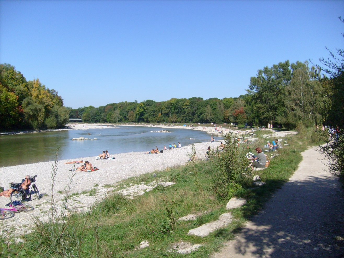
| Description | 23.09.2007. _ Isar ---> Nord | ||
| Date | 29 November 2007 (original upload date) | ||
| Source | https://web.archive.org/web/20161010174241/http://www.panoramio.com/photo/6202467 | ||
| Author | Sandor Bordas | ||
| Permission (Reusing this file) |
This file is licensed under the Creative Commons Attribution-Share Alike 3.0 Unported license. Attribution: Sandor Bordas
|
| Camera location | | View this and other nearby images on: OpenStreetMap |
|---|

File history
Click on a date/time to view the file as it appeared at that time.
| Date/Time | Thumbnail | Dimensions | User | Comment | |
|---|---|---|---|---|---|
| current | 04:46, 25 December 2015 | | 1,317 × 988 (1 MB) | Panoramio upload bot (talk | contribs) | {{Information |description=23.09.2007. _ Isar ---> Nord |date={{Original upload date|2007-11-29}} |source=http://www.panoramio.com/photo/6202467 |author=[http://www.panoramio.com/user/8775?with_photo_id=6202467 Sandor Bordas] |permission={{cc-by-sa-... |
You cannot overwrite this file.
File usage on Commons
The following 3 pages use this file: