File:ACCESS ROAD IN FRONT OF EAST CABIN ROAD, LOOKING SOUTH - Paulina Lake IOOF Organization Camp, Deschutes National Forest, La Pine, Deschutes County, OR HABS ORE,9-LAPI.V,1-5.tif
Jump to navigation
Jump to search
Size of this JPG preview of this TIF file: 742 × 600 pixels. Other resolutions: 297 × 240 pixels | 594 × 480 pixels | 951 × 768 pixels | 1,267 × 1,024 pixels | 2,535 × 2,048 pixels | 4,991 × 4,033 pixels.
Original file (4,991 × 4,033 pixels, file size: 19.2 MB, MIME type: image/tiff)
Captions
Captions
Add a one-line explanation of what this file represents
Summary[edit]
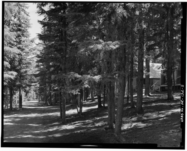
| ACCESS ROAD IN FRONT OF EAST CABIN ROAD, LOOKING SOUTH - Paulina Lake IOOF Organization Camp, Deschutes National Forest, La Pine, Deschutes County, OR | ||||
|---|---|---|---|---|
| Title |
ACCESS ROAD IN FRONT OF EAST CABIN ROAD, LOOKING SOUTH - Paulina Lake IOOF Organization Camp, Deschutes National Forest, La Pine, Deschutes County, OR |
|||
| Depicted place | Oregon; Deschutes County; La Pine | |||
| Date | Documentation compiled after 1933 | |||
| Dimensions | 4 x 5 in. | |||
| Current location |
Library of Congress Prints and Photographs Division Washington, D.C. 20540 USA http://hdl.loc.gov/loc.pnp/pp.print |
|||
| Accession number |
HABS ORE,9-LAPI.V,1-5 |
|||
| Credit line |
|
|||
| Notes |
|
|||
| Source | https://www.loc.gov/pictures/item/or0155.photos.305588p | |||
| Permission (Reusing this file) |
|
|||

| Object location | | View this and other nearby images on: OpenStreetMap |
|---|
File history
Click on a date/time to view the file as it appeared at that time.
| Date/Time | Thumbnail | Dimensions | User | Comment | |
|---|---|---|---|---|---|
| current | 01:02, 31 July 2014 |  | 4,991 × 4,033 (19.2 MB) | Fæ (talk | contribs) | GWToolset: Creating mediafile for Fæ. HABS 30 July 2014 (2601:2900) |
You cannot overwrite this file.
File usage on Commons
The following page uses this file: