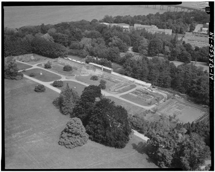
File:AERIAL VIEW OF GENERAL VIEW OF GREENHOUSE AREA - Lyndhurst, Greenhouse, 635 South Broadway, Tarrytown, Westchester County, NY HABS NY,60-TARY,1B-14.tif
Jump to navigation
Jump to search
Size of this JPG preview of this TIF file: 752 × 600 pixels. Other resolutions: 301 × 240 pixels | 602 × 480 pixels | 963 × 768 pixels | 1,280 × 1,021 pixels | 2,560 × 2,042 pixels | 4,969 × 3,964 pixels.
Original file (4,969 × 3,964 pixels, file size: 18.79 MB, MIME type: image/tiff)
Captions
Captions
Add a one-line explanation of what this file represents
Summary[edit]
| AERIAL VIEW OF GENERAL VIEW OF GREENHOUSE AREA - Lyndhurst, Greenhouse, 635 South Broadway, Tarrytown, Westchester County, NY | ||||
|---|---|---|---|---|
| Photographer |
Boucher, Jack E. |
|||
| Title |
AERIAL VIEW OF GENERAL VIEW OF GREENHOUSE AREA - Lyndhurst, Greenhouse, 635 South Broadway, Tarrytown, Westchester County, NY |
|||
| Depicted place | New York; Westchester County; Tarrytown | |||
| Date | 1971 | |||
| Dimensions | 4 x 5 in. | |||
| Current location |
Library of Congress Prints and Photographs Division Washington, D.C. 20540 USA http://hdl.loc.gov/loc.pnp/pp.print |
|||
| Accession number |
HABS NY,60-TARY,1B-14 |
|||
| Credit line |
|
|||
| Notes |
|
|||
| References |
|
|||
| Source | https://www.loc.gov/pictures/item/ny0870.photos.124816p | |||
| Permission (Reusing this file) |
|
|||

| Object location | | View this and other nearby images on: OpenStreetMap |
|---|
File history
Click on a date/time to view the file as it appeared at that time.
| Date/Time | Thumbnail | Dimensions | User | Comment | |
|---|---|---|---|---|---|
| current | 12:10, 29 July 2014 |  | 4,969 × 3,964 (18.79 MB) | Fæ (talk | contribs) | GWToolset: Creating mediafile for Fæ. HABS 24 July 2014 (2301:2600) |
You cannot overwrite this file.
File usage on Commons
The following page uses this file:
File usage on other wikis
The following other wikis use this file:
- Usage on fr.wikibooks.org