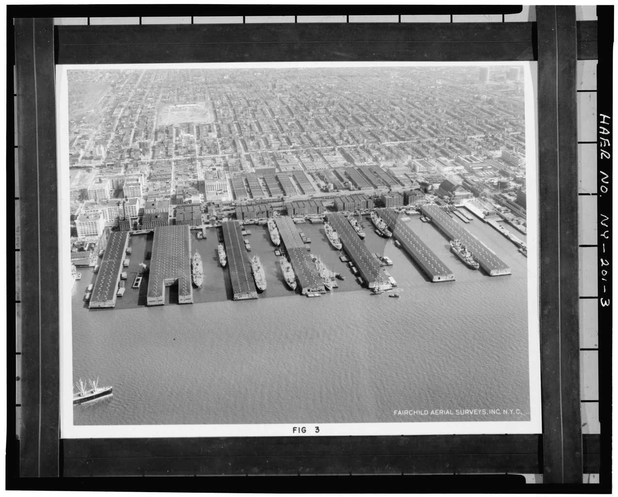
File:AERIAL VIEW OF TERMINAL, LOOKING SOUTHEAST Figure 3 in Frederic R. Harris, Inc., Report on Piers and Industrial Property of the Bush Terminal Company. - Bush Terminal Company, HAER NY,24-BROK,54-3.tif
Jump to navigation
Jump to search

Size of this JPG preview of this TIF file: 745 × 600 pixels. Other resolutions: 298 × 240 pixels | 597 × 480 pixels | 954 × 768 pixels | 1,273 × 1,024 pixels | 2,545 × 2,048 pixels | 4,794 × 3,858 pixels.
Original file (4,794 × 3,858 pixels, file size: 17.64 MB, MIME type: image/tiff)
Captions
Captions
Add a one-line explanation of what this file represents
Summary[edit]
| Photographer |
Related names:
|
|||
| Title |
AERIAL VIEW OF TERMINAL, LOOKING SOUTHEAST Figure 3 in Frederic R. Harris, Inc., Report on Piers and Industrial Property of the Bush Terminal Company. - Bush Terminal Company, Between Second and Third Avenues from Thirty-ninth to Fiftieth Streets, Brooklyn, Kings County, NY |
|||
| Depicted place | New York; Kings County; Brooklyn | |||
| Date | Documentation compiled after 1968 | |||
| Dimensions | 4 x 5 in. | |||
| Current location |
Library of Congress Prints and Photographs Division Washington, D.C. 20540 USA http://hdl.loc.gov/loc.pnp/pp.print |
|||
| Accession number |
HAER NY,24-BROK,54-3 |
|||
| Credit line |
|
|||
| Notes |
|
|||
| Source | https://www.loc.gov/pictures/item/ny1593.photos.117049p | |||
| Permission (Reusing this file) |
|

| Object location | | View this and other nearby images on: OpenStreetMap |
|---|
File history
Click on a date/time to view the file as it appeared at that time.
| Date/Time | Thumbnail | Dimensions | User | Comment | |
|---|---|---|---|---|---|
| current | 19:35, 29 July 2014 |  | 4,794 × 3,858 (17.64 MB) | Fæ (talk | contribs) | GWToolset: Creating mediafile for Fæ. HABS 24 July 2014 (2301:2600) |
You cannot overwrite this file.
File usage on Commons
The following page uses this file: