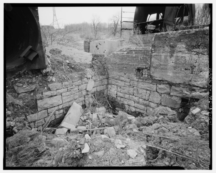
File:AIR-MANWAY SHAFT WALL AND FAN HOUSE FOUNDATION WALL FROM NORTHWEST. AEROVANE FAN AT UPPER LEFT, SCAFFOLD AND LEPLEY VENTILATOR AT UPPER RIGHT. - Consolidation Coal Company Mine HAER MD,1-MLOTH.V,1C-1.tif
Jump to navigation
Jump to search
Size of this JPG preview of this TIF file: 748 × 599 pixels. Other resolutions: 300 × 240 pixels | 599 × 480 pixels | 959 × 768 pixels | 1,278 × 1,024 pixels | 2,556 × 2,048 pixels | 5,000 × 4,006 pixels.
Original file (5,000 × 4,006 pixels, file size: 19.1 MB, MIME type: image/tiff)
Captions
Captions
Add a one-line explanation of what this file represents
Summary[edit]
| Title |
AIR-MANWAY SHAFT WALL AND FAN HOUSE FOUNDATION WALL FROM NORTHWEST. AEROVANE FAN AT UPPER LEFT, SCAFFOLD AND LEPLEY VENTILATOR AT UPPER RIGHT. - Consolidation Coal Company Mine No. 11, Air-Manway Shaft, East side of State Route 936, Midlothian, Allegany County, MD |
|||
| Depicted place | Maryland; Allegany County; Midlothian | |||
| Date | Documentation compiled after 1968 | |||
| Dimensions | 4 x 5 in. | |||
| Current location |
Library of Congress Prints and Photographs Division Washington, D.C. 20540 USA http://hdl.loc.gov/loc.pnp/pp.print |
|||
| Accession number |
HAER MD,1-MLOTH.V,1C-1 |
|||
| Credit line |
|
|||
| Notes |
|
|||
| Source | https://www.loc.gov/pictures/item/md1333.photos.320040p | |||
| Permission (Reusing this file) |
|

| Object location | | View this and other nearby images on: OpenStreetMap |
|---|
File history
Click on a date/time to view the file as it appeared at that time.
| Date/Time | Thumbnail | Dimensions | User | Comment | |
|---|---|---|---|---|---|
| current | 19:37, 28 July 2014 |  | 5,000 × 4,006 (19.1 MB) | Fæ (talk | contribs) | GWToolset: Creating mediafile for Fæ. HABS 21 July 2014 (1601:1800) |
You cannot overwrite this file.
File usage on Commons
The following page uses this file: