File:AMH-5109-NA Map of Cerimgapa to Tamgoa and parts of the islands of Pemba and Madagascar.jpg
Jump to navigation
Jump to search

Size of this preview: 800 × 579 pixels. Other resolutions: 320 × 231 pixels | 640 × 463 pixels | 1,024 × 741 pixels | 1,280 × 926 pixels | 2,400 × 1,736 pixels.
Original file (2,400 × 1,736 pixels, file size: 324 KB, MIME type: image/jpeg)
Captions
Captions
Add a one-line explanation of what this file represents
Summary[edit]
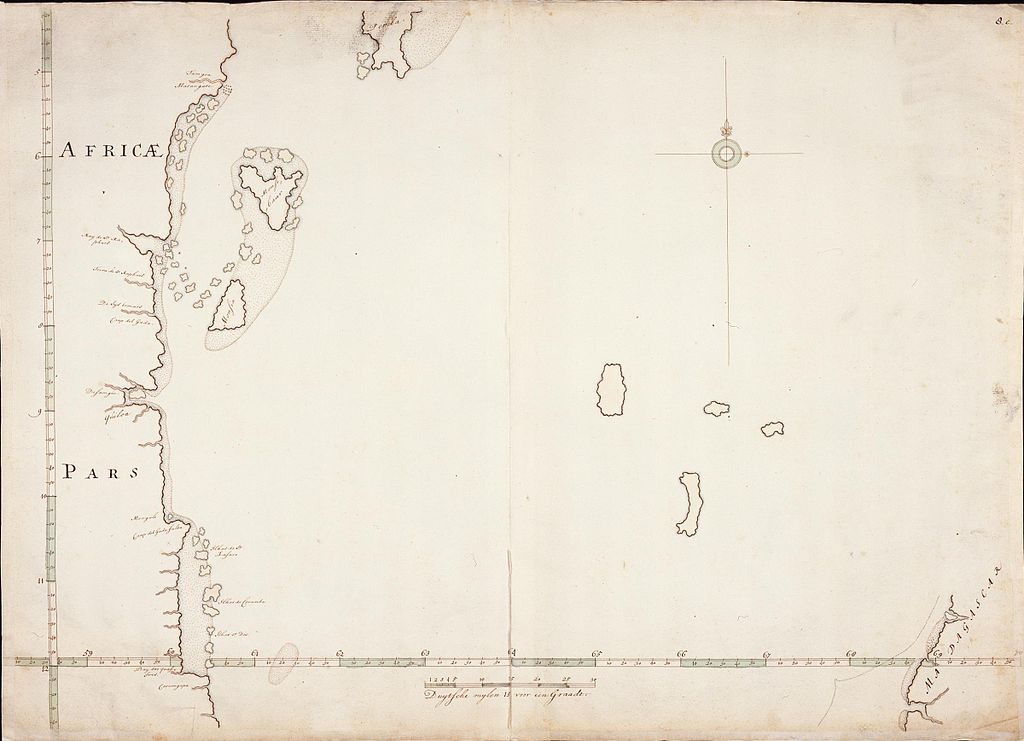
Nederlands: Kaart van Cerimgapa tot Tamgoa en delen van het eiland Pemba en Madagaskar
English: Map of Cerimgapa to Tamgoa and parts of the islands of Pemba and Madagascar( |
||||||||||||||||||||||||||
|---|---|---|---|---|---|---|---|---|---|---|---|---|---|---|---|---|---|---|---|---|---|---|---|---|---|---|
| Author |
Nederlands: Isaac de Graaff (landmeter / kaartenmaker)
English: Isaac de Graaff (land surveyor / mapmaker) |
|||||||||||||||||||||||||
| Title |
Nederlands: Kaart van Cerimgapa tot Tamgoa en delen van het eiland Pemba en Madagaskar
English: Map of Cerimgapa to Tamgoa and parts of the islands of Pemba and Madagascar |
|||||||||||||||||||||||||
| Description |
Nederlands: Titel in catalogus Leupe (Nationaal Archief): Kaart van de Oostkust van Afrika, tusschen Cerimgapa en Tamgoa, een gedeelte van het eiland Pemba en een gedeelte van Madagaskar.
Rechtsboven genummerd: 8.e. Notities verso: 12 [in potlood in rechterbovenhoek] / 209 [in rood potlood].English: Title in Leupe catalogue (National Archives): Kaart van de Oostkust van Afrika, tusschen Cerimgapa en Tamgoa, een gedeelte van het eiland pemba en een gedeelte van Madagaskar.
Numbered top right: 8.e. Notes on reverse: 12 [pencilled in top right corner] / 209 [in red pencil]. |
|||||||||||||||||||||||||
| Date | between 1650 and 1700 | |||||||||||||||||||||||||
| Medium |
Nederlands: pen op papier
English: pen on paper |
|||||||||||||||||||||||||
| Dimensions | height: 74 cm (29.1 in); width: 53 cm (20.8 in) | |||||||||||||||||||||||||
| Collection |
|
|||||||||||||||||||||||||
| Accession number |
NL-HaNA_4.VEL_209 (old number: VEL0209) |
|||||||||||||||||||||||||
| Inscriptions |
Africae pars
|
|||||||||||||||||||||||||
| Notes |
English: Subjects: chart / map / plan
Nederlands: Onderwerpen: plattegrond / kaart |
|||||||||||||||||||||||||
| Source/Photographer |
|
|||||||||||||||||||||||||
| Permission (Reusing this file) |
|
|||||||||||||||||||||||||

File history
Click on a date/time to view the file as it appeared at that time.
| Date/Time | Thumbnail | Dimensions | User | Comment | |
|---|---|---|---|---|---|
| current | 17:19, 10 June 2014 | | 2,400 × 1,736 (324 KB) | HuskyBot (talk | contribs) | == {{int:filedesc}} == {{Artwork |title = {{nl|1=Kaart van Cerimgapa tot Tamgoa en delen van het eiland Pemba en Madagaskar}} {{en|1=Map of Cerimgapa to Tamgoa and parts of the islands of Pemba and Madagascar}} |des... |
You cannot overwrite this file.
File usage on Commons
The following page uses this file: