File:AREA, SHOWING RELATION TO QUARTERMASTER STORAGE QUARTERS - Fort Egbert, Waterwagon Shed, Yukon River at Mission Creek, Eagle, Southeast Fairbanks Census Area, AK HABS AK,19-EGL.V,1-D-1.tif
Jump to navigation
Jump to search

Size of this JPG preview of this TIF file: 800 × 570 pixels. Other resolutions: 320 × 228 pixels | 640 × 456 pixels | 1,024 × 729 pixels | 1,280 × 912 pixels | 2,560 × 1,824 pixels | 5,000 × 3,562 pixels.
Original file (5,000 × 3,562 pixels, file size: 16.99 MB, MIME type: image/tiff)
Captions
Captions
Add a one-line explanation of what this file represents
Summary[edit]
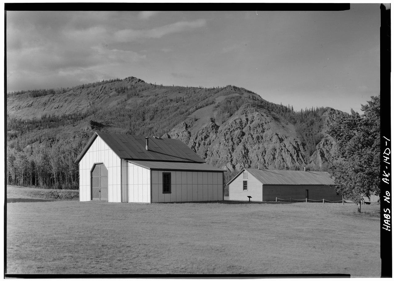
| AREA, SHOWING RELATION TO QUARTERMASTER STORAGE QUARTERS - Fort Egbert, Waterwagon Shed, Yukon River at Mission Creek, Eagle, Southeast Fairbanks Census Area, AK | ||||
|---|---|---|---|---|
| Title |
AREA, SHOWING RELATION TO QUARTERMASTER STORAGE QUARTERS - Fort Egbert, Waterwagon Shed, Yukon River at Mission Creek, Eagle, Southeast Fairbanks Census Area, AK |
|||
| Date | Documentation compiled after 1933 | |||
| Medium | 5 x 7 in. | |||
| Current location |
Library of Congress Prints and Photographs Division Washington, D.C. 20540 USA http://hdl.loc.gov/loc.pnp/pp.print |
|||
| Accession number |
HABS AK,19-EGL.V,1-D-1 |
|||
| Place of creation | Alaska; Southeast Fairbanks Census Area; Eagle | |||
| Credit line |
|
|||
| Notes |
|
|||
| Source/Photographer | https://www.loc.gov/pictures/item/ak0107.photos.000752p | |||
| Permission (Reusing this file) |
|
|||

| Object location | | View this and other nearby images on: OpenStreetMap |
|---|
File history
Click on a date/time to view the file as it appeared at that time.
| Date/Time | Thumbnail | Dimensions | User | Comment | |
|---|---|---|---|---|---|
| current | 21:18, 24 June 2014 |  | 5,000 × 3,562 (16.99 MB) | Fæ (talk | contribs) | GWToolset: Creating mediafile for Fæ. HABS batch uploads start 24 June 2014 |
You cannot overwrite this file.
File usage on Commons
The following page uses this file: