File:Aigues-Mortes.png
Jump to navigation
Jump to search

Size of this preview: 674 × 600 pixels. Other resolutions: 270 × 240 pixels | 539 × 480 pixels | 863 × 768 pixels | 1,064 × 947 pixels.
Original file (1,064 × 947 pixels, file size: 437 KB, MIME type: image/png)
Captions
Captions
Add a one-line explanation of what this file represents
Summary[edit]
| Description |
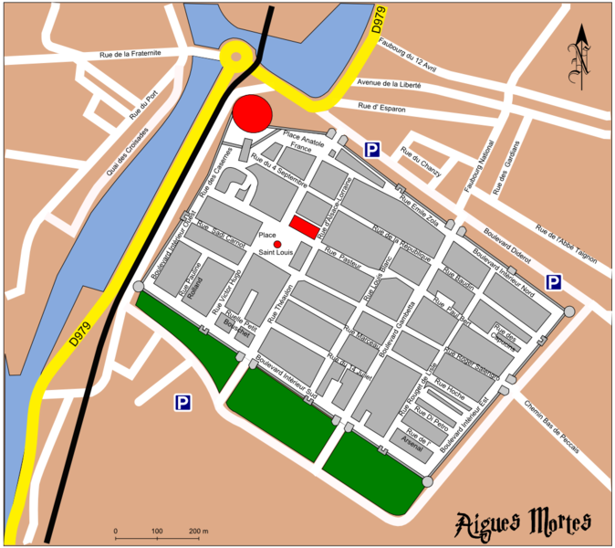
English: Map of Aigues Mortes (Old City) Français : Plan du Ville Deutsch: Stadtplan der Altstadt |
| Date | |
| Source | Own work using: inkscape |
| Author | Der Reisende |
| Other versions |
 |
Licensing[edit]
User: Der Reisende at wikivoyage shared, the copyright holder of this work, hereby publishes it under the following license:
This file is licensed under the Creative Commons Attribution-Share Alike 3.0 Unported, 2.5 Generic, 2.0 Generic and 1.0 Generic license.
Attribution: User: Der Reisende at wikivoyage shared
- You are free:
- to share – to copy, distribute and transmit the work
- to remix – to adapt the work
- Under the following conditions:
- attribution – You must give appropriate credit, provide a link to the license, and indicate if changes were made. You may do so in any reasonable manner, but not in any way that suggests the licensor endorses you or your use.
- share alike – If you remix, transform, or build upon the material, you must distribute your contributions under the same or compatible license as the original.
Original upload log[edit]
| This file was imported from Wikivoyage Shared. |
The original description page was here. All following user names refer to wikivoyage-old/shared.
- 2007-02-18 08:11 Der Reisende archive copy at the Wayback Machine 1064×947 (447219 bytes) {{Information |Description={{en|1=Map of Aigues Mortes (Old City), {{fr|1=Plan du Ville, {{de|1=Stadtplan der Altstadt |Author=[[User:Der Reisende|Der Reisende]] |Date=18.02.2007 |Source=selfmade with inkscape |Permission=see below |other_versions=[[Image:Aigues_m}}}}}}
File history
Click on a date/time to view the file as it appeared at that time.
| Date/Time | Thumbnail | Dimensions | User | Comment | |
|---|---|---|---|---|---|
| current | 21:27, 15 December 2012 | | 1,064 × 947 (437 KB) | MGA73bot2 (talk | contribs) | {{BotMoveToCommons|shared.oldwikivoyage|year={{subst:CURRENTYEAR}}|month={{subst:CURRENTMONTHNAME}}|day={{subst:CURRENTDAY}}}} == {{int:filedesc}} == {{Information |description=en: Map of Aigues Mortes (Old City), fr: Plan du Ville, de: Stadtplan der A... |
You cannot overwrite this file.
File usage on Commons
The following page uses this file: