File:Augsdorf in Gerbstedt.svg
Jump to navigation
Jump to search

Size of this PNG preview of this SVG file: 800 × 566 pixels. Other resolutions: 320 × 226 pixels | 640 × 452 pixels | 1,024 × 724 pixels | 1,280 × 905 pixels | 2,560 × 1,810 pixels | 1,293 × 914 pixels.
Original file (SVG file, nominally 1,293 × 914 pixels, file size: 809 KB)
Captions
Captions
Add a one-line explanation of what this file represents
Summary[edit]
| Description |
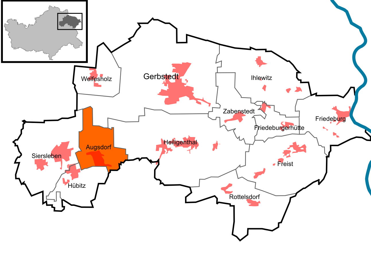
Deutsch: Lage von Augsdorf in der Stadt Gerbstedt im Landkreis Mansfeld-Südharz in Sachsen-Anhalt, Deutschland.
English: Location of Augsdorf in the municipality Gerbstedt in Mansfeld-Südharz in Saxony-Anhalt, Germany.
|
||
| Date | |||
| Source | Own work, with informations from lvermgeo DE-ST and the work of Hagar66 | ||
| Author | Pomfuttge | ||
| Other versions |
 |
||
| SVG development |
Licensing[edit]
I, the copyright holder of this work, hereby publish it under the following licenses:

|
Permission is granted to copy, distribute and/or modify this document under the terms of the GNU Free Documentation License, Version 1.2 or any later version published by the Free Software Foundation; with no Invariant Sections, no Front-Cover Texts, and no Back-Cover Texts. A copy of the license is included in the section entitled GNU Free Documentation License. |
This file is licensed under the Creative Commons Attribution-Share Alike 3.0 Unported, 2.5 Generic, 2.0 Generic and 1.0 Generic license.
- You are free:
- to share – to copy, distribute and transmit the work
- to remix – to adapt the work
- Under the following conditions:
- attribution – You must give appropriate credit, provide a link to the license, and indicate if changes were made. You may do so in any reasonable manner, but not in any way that suggests the licensor endorses you or your use.
- share alike – If you remix, transform, or build upon the material, you must distribute your contributions under the same or compatible license as the original.
You may select the license of your choice.
File history
Click on a date/time to view the file as it appeared at that time.
| Date/Time | Thumbnail | Dimensions | User | Comment | |
|---|---|---|---|---|---|
| current | 11:43, 22 December 2010 | | 1,293 × 914 (809 KB) | Pomfuttge (talk | contribs) | othercolour |
| 18:35, 14 August 2010 |  | 1,293 × 914 (748 KB) | Pomfuttge (talk | contribs) | now with villages | |
| 21:44, 13 May 2010 |  | 1,293 × 914 (734 KB) | Pomfuttge (talk | contribs) | korr. | |
| 20:29, 20 February 2010 |  | 1,293 × 914 (742 KB) | Pomfuttge (talk | contribs) | {{Information |Description={{de|1=Lage von Augsdorf in Gerbstedt}} |Source={{own}} |Author=Pomfuttge |Date=20/02/10 |Permission= |other_versions=thumb|left| }} [[Category:Maps of the districts of Gerbste |
You cannot overwrite this file.
File usage on Commons
The following page uses this file:
File usage on other wikis
The following other wikis use this file:
- Usage on de.wikipedia.org
- Usage on ro.wikipedia.org
- Usage on tt.wikipedia.org
- Usage on www.wikidata.org