File:BSicon uxKRZu.svg
Jump to navigation
Jump to search

Size of this PNG preview of this SVG file: 500 × 500 pixels. Other resolutions: 240 × 240 pixels | 480 × 480 pixels | 768 × 768 pixels | 1,024 × 1,024 pixels | 2,048 × 2,048 pixels.
Original file (SVG file, nominally 500 × 500 pixels, file size: 390 bytes)
Captions
Captions
Add a one-line explanation of what this file represents
Summary[edit]
| Description |
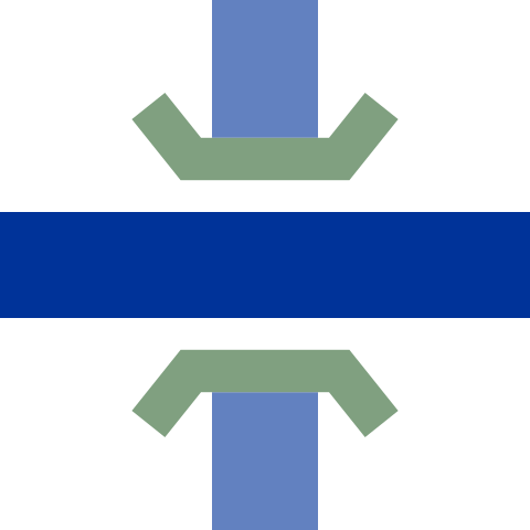
English: Ex underground crossing underneath
Deutsch: Ex U-Bahn Kreuzung unten |
| Date | |
| Source | Own work |
| Author | axpde |
| Other versions | complete set of icons, new design, small size and correct names |
| SVG development | This BSicon was created with a text editor. |
Licensing[edit]
| This work is ineligible for copyright and therefore in the public domain because it consists entirely of information that is common property and contains no original authorship. |
File history
Click on a date/time to view the file as it appeared at that time.
| Date/Time | Thumbnail | Dimensions | User | Comment | |
|---|---|---|---|---|---|
| current | 14:21, 2 December 2018 | | 500 × 500 (390 bytes) | Jc86035 (talk | contribs) | Uploaded file |
| 14:03, 9 April 2009 |  | 500 × 500 (628 bytes) | Axpde (talk | contribs) | {{Information |Description= {{en|1= ex underground crossing underneath}} {{de|1= e'''x U'''-Bahn '''Kr'''eu'''z'''ung '''u'''nten}} |Source= self-made |Date= 30.03.2009 |Author= user:axpde |Permission= {{PD-ineligible}} |other_versions= complete new s |
You cannot overwrite this file.
File usage on Commons
The following 19 pages use this file:
- BSicon/Catalogue/junctions/crossings
- BSicon/Catalogue/watercourses
- BSicon/Catalogue/watercourses/infrastructure
- Talk:BSicon/Colors/Archive 2
- User:AlisonW/Rail Icons
- User:Axpde/BSicons light
- User:BjørnN/Branching symbols
- User:BjørnN/Parallel lines
- User:Chumwa/OgreBot/Potential transport maps/2018 December 1-10
- User:Chumwa/OgreBot/Transport Maps/2018 December 1-10
- User:Chumwa/OgreBot/Travel and communication maps/2018 December 1-10
- User:JJMC89 bot/report/BSicons/changes/2017-09 (05)
- User:JJMC89 bot/report/BSicons/changes/2018-12
- User:JJMC89 bot/report/BSicons/changes/2021-07
- User:JJMC89 bot/report/BSicons/logs/upload/2007-09
- User:JJMC89 bot/report/BSicons/logs/upload/2009-04
- User:JJMC89 bot/report/BSicons/logs/upload/2018-12
- User:Magog the Ogre/PD ineligible/2018 December 1-3
- User:YLSS/BSicon
File usage on other wikis
The following other wikis use this file:
- Usage on bn.wikipedia.org
- Usage on cy.wikipedia.org
- Usage on de.wikipedia.org
- Usage on en.wikipedia.org
- River Aire
- River Avon, Warwickshire
- River Avon, Bristol
- Trent and Mersey Canal
- River Hull
- River Weaver
- River Idle
- Line 1 Yonge–University
- River Blackwater (River Loddon)
- River Ryton
- River Colne, Hertfordshire
- Claverton Pumping Station
- River Devon, Nottinghamshire
- River Alt
- Hatherton Canal
- Somerset Coal Canal
- River Perry
- Ribble Link
- River Frome, Stroud
- Driffield Navigation
- Buckingham Arm
- Stainforth and Keadby Canal
- Peasey Beck
- Stainton Beck
- River Calder, Wyre
- Douglas Navigation
- River Went
- Middle Level Navigations
- Stroudwater Navigation
- Cove Brook
- River Whitewater
- Template:Stainforth and Keadby Canal map
- Template:Ribble Link map
- Template:Hatherton Canal map
- Template:Buckingham Arm map
- Template:Somerset Coal Canal map
- Template:Middle Level Navigations map
- Template:Driffield Navigation map
- Template:River Avon Warks map
View more global usage of this file.