File:Berkshire UK location map.svg
跳转到导航
跳转到搜索

此SVG文件的PNG预览的大小:800 × 416像素。 其他分辨率:320 × 166像素 | 640 × 333像素 | 1,024 × 532像素 | 1,280 × 666像素 | 2,560 × 1,331像素 | 1,425 × 741像素。
原始文件 (SVG文件,尺寸为1,425 × 741像素,文件大小:1.51 MB)
说明
说明
添加一行文字以描述该文件所表现的内容
| 描述 |
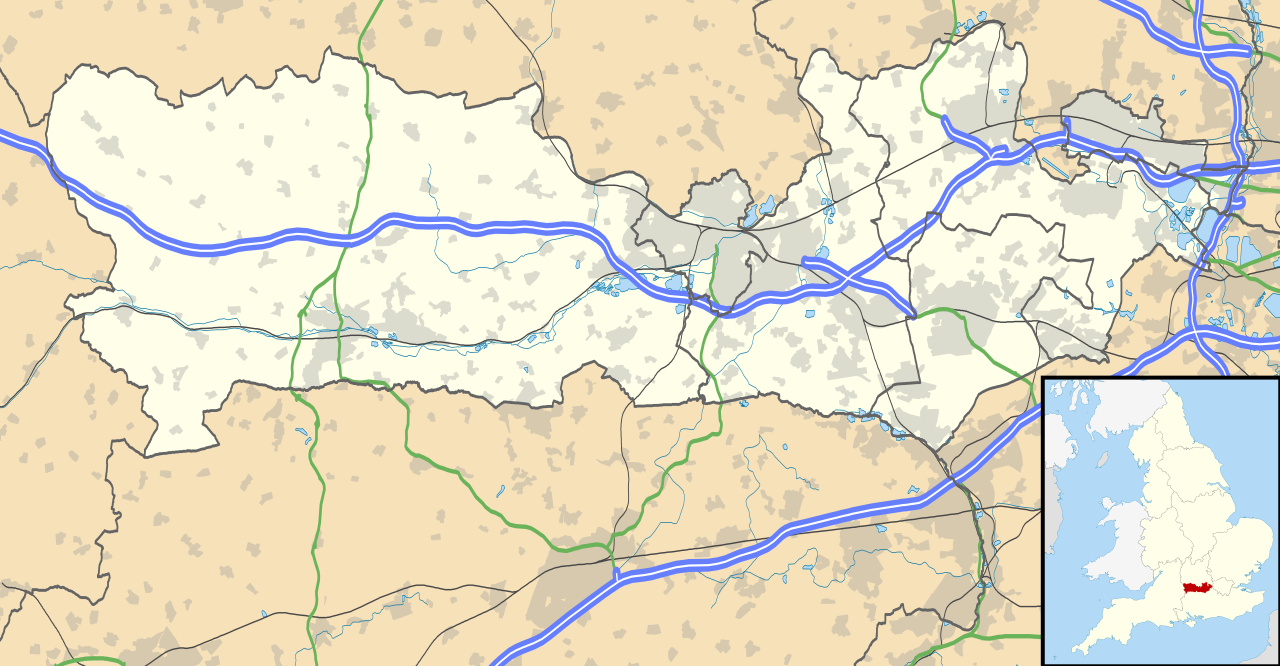
Map of Berkshire, UK with the following information shown:
Equirectangular map projection on WGS 84 datum, with N/S stretched 160% Geographic limits:
|
| 日期 | |
| 来源 |
|
| 作者 | Nilfanion, created using Ordnance Survey data |
| 授权 (二次使用本文件) |
本文件采用知识共享署名-相同方式共享 3.0 未本地化版本许可协议授权。 署名: Contains Ordnance Survey data © Crown copyright and database right
|
| 其他版本 | File:Berkshire UK district map (blank).svg - Blank map |
.svg)
文件历史
点击某个日期/时间查看对应时刻的文件。
| 日期/时间 | 缩略图 | 大小 | 用户 | 备注 | |
|---|---|---|---|---|---|
| 当前 | 2010年9月26日 (日) 17:56 | | 1,425 × 741(1.51 MB) | Nilfanion(留言 | 贡献) | {{Information |Description=Map of Berkshire, UK with the following information shown: *Administrative borders *Coastline, lakes and rivers *Roads and railways *Urban areas Equirectangular map projection on WGS 84 datum, with N/S stretched |
您不可以覆盖此文件。
文件用途
全域文件用途
以下其他wiki使用此文件:
- ar.wikipedia.org上的用途
- azb.wikipedia.org上的用途
- bg.wikipedia.org上的用途
- bn.wikipedia.org上的用途
- ceb.wikipedia.org上的用途
- en.wikipedia.org上的用途
- Slough
- Newbury, Berkshire
- Britwell
- Chalvey
- Colnbrook
- Langley, Berkshire
- Upton, Slough
- Speen, Berkshire
- Maidenhead
- Sandhurst, Berkshire
- Bracknell
- Wraysbury
- Datchet
- Hungerford
- Windsor, Berkshire
- Caversham, Reading
- Frogmore
- Eton, Berkshire
- Ditton, Slough
- Horton, Berkshire
- Sunningdale
- Earley
- Hurley, Berkshire
查看此文件的更多全域用途。