File:Bidar district outline map.PNG
Jump to navigation
Jump to search

Size of this preview: 800 × 489 pixels. Other resolutions: 320 × 195 pixels | 640 × 391 pixels | 843 × 515 pixels.
Original file (843 × 515 pixels, file size: 92 KB, MIME type: image/png)
Captions
Captions
Add a one-line explanation of what this file represents
Summary
[edit]
| Description |
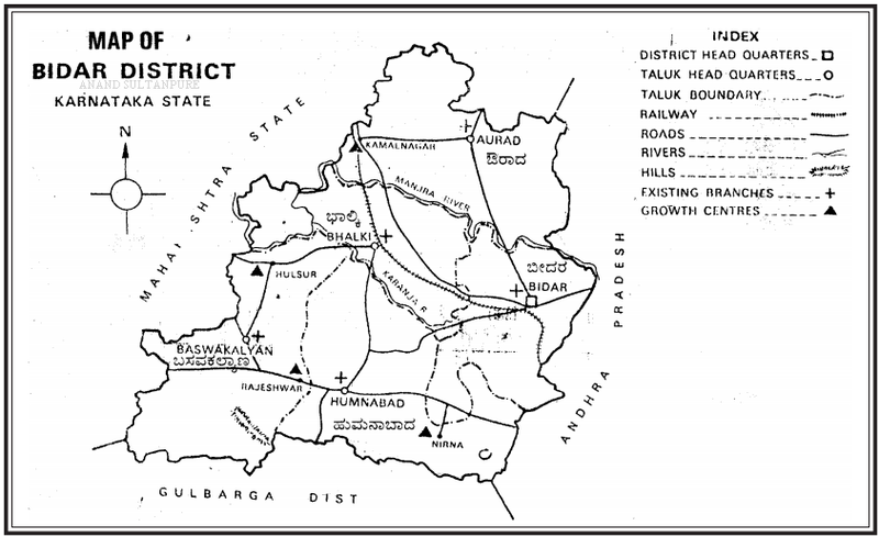
English: District Map showing major/important markers |
| Date | |
| Source | BIDAR DISTRICT AT A GLANCE 2011 - 2012, published by district administration |
| Author | Govt. of Karnataka, India |
Licensing
[edit]
This file is in the public domain because map/image is taken from a report which was made public by the Government
|
File history
Click on a date/time to view the file as it appeared at that time.
| Date/Time | Thumbnail | Dimensions | User | Comment | |
|---|---|---|---|---|---|
| current | 15:14, 23 March 2015 | | 843 × 515 (92 KB) | Anand2202 (talk | contribs) | User created page with UploadWizard |
You cannot overwrite this file.
File usage on Commons
There are no pages that use this file.
File usage on other wikis
The following other wikis use this file:
- Usage on bn.wikipedia.org
- Usage on en.wikipedia.org