File:Blausteinsee-Lageplan.svg
Jump to navigation
Jump to search

Size of this PNG preview of this SVG file: 668 × 600 pixels. Other resolutions: 267 × 240 pixels | 535 × 480 pixels | 856 × 768 pixels | 1,141 × 1,024 pixels | 2,282 × 2,048 pixels | 888 × 797 pixels.
Original file (SVG file, nominally 888 × 797 pixels, file size: 22 KB)
Captions
Captions
Add a one-line explanation of what this file represents
Summary[edit]
| Description |
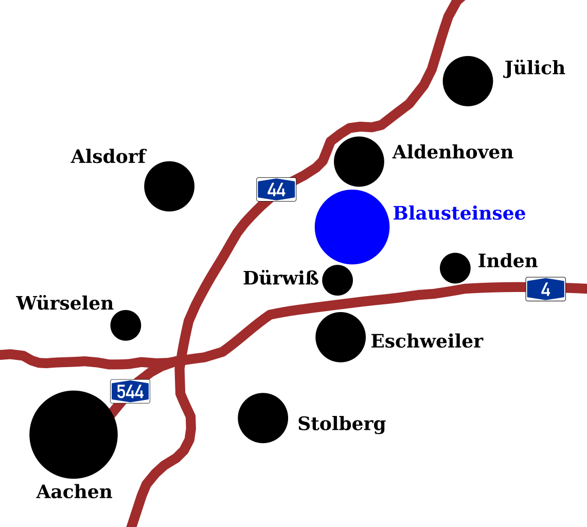
Deutsch: Lageplan des Blausteinsees in der Städteregion Aachen |
| Date | |
| Source |
|
| Author |
|
| SVG development |
Licensing[edit]
| This image of simple geometry is ineligible for copyright and therefore in the public domain, because it consists entirely of information that is common property and contains no original authorship. |  |
File history
Click on a date/time to view the file as it appeared at that time.
| Date/Time | Thumbnail | Dimensions | User | Comment | |
|---|---|---|---|---|---|
| current | 21:29, 21 April 2014 | | 888 × 797 (22 KB) | EveryPicture (talk | contribs) |
You cannot overwrite this file.
File usage on Commons
The following 2 pages use this file:
File usage on other wikis
The following other wikis use this file:
- Usage on de.wikipedia.org
- Usage on nl.wikipedia.org