File:BocageCommana 2012 2.JPG
Jump to navigation
Jump to search

Size of this preview: 800 × 347 pixels. Other resolutions: 320 × 139 pixels | 640 × 278 pixels | 1,024 × 445 pixels | 1,280 × 556 pixels | 4,530 × 1,967 pixels.
Original file (4,530 × 1,967 pixels, file size: 1.94 MB, MIME type: image/jpeg)
Captions
Captions
Add a one-line explanation of what this file represents
Summary[edit]
| Description |
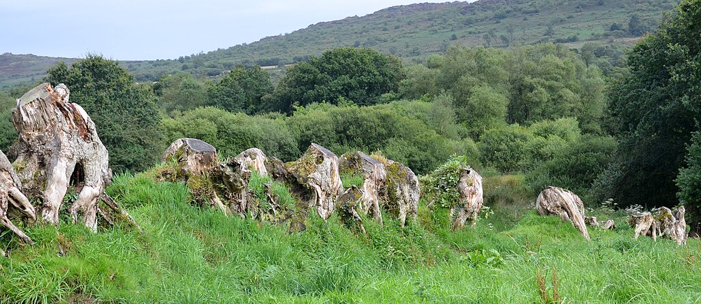
Français : Reste de bocage (photo : Aout 2012), commune de Commana, située en Bretagne dans le Parc naturel régional d'Armorique dans l'Ouest de la France ; à proximité (et au sud-est) d'un ensemble mégalithique dit "Allée Couverte du Mougau-Bihan". |
| Date | |
| Source | Own work |
| Author | Lamiot |
Concernant les remembrements et le bocage en Bretagne, voir : Pierre Flatrès , La structure rurale du Sud-Finistère d'après les anciens cadastres[dead link], Norois lien Année 1957 lien Volume 16 lien Numéro 16 lien pp. 425-453
Licensing[edit]
I, the copyright holder of this work, hereby publish it under the following license:
This file is licensed under the Creative Commons Attribution-Share Alike 3.0 Unported license.
- You are free:
- to share – to copy, distribute and transmit the work
- to remix – to adapt the work
- Under the following conditions:
- attribution – You must give appropriate credit, provide a link to the license, and indicate if changes were made. You may do so in any reasonable manner, but not in any way that suggests the licensor endorses you or your use.
- share alike – If you remix, transform, or build upon the material, you must distribute your contributions under the same or compatible license as the original.
File history
Click on a date/time to view the file as it appeared at that time.
| Date/Time | Thumbnail | Dimensions | User | Comment | |
|---|---|---|---|---|---|
| current | 12:26, 23 August 2012 | | 4,530 × 1,967 (1.94 MB) | Lamiot (talk | contribs) |
You cannot overwrite this file.
File usage on Commons
There are no pages that use this file.