File:Bureau of Land Management Cadastral Survey Marker Arizona.jpg
Jump to navigation
Jump to search

Size of this preview: 608 × 600 pixels. Other resolutions: 243 × 240 pixels | 487 × 480 pixels | 732 × 722 pixels.
Original file (732 × 722 pixels, file size: 118 KB, MIME type: image/jpeg)
Captions
Captions
Add a one-line explanation of what this file represents
Summary[edit]
| Description |
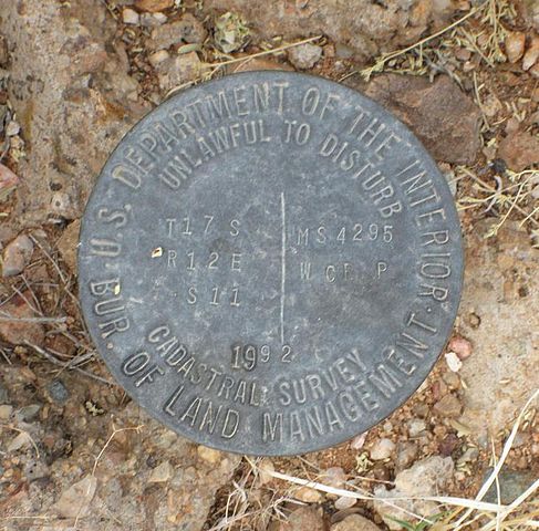
English: Bureau of Land Management cadastral survey marker from 1992 in San Xavier, Arizona. |
| Date | |
| Source | Digital camera |
| Author | $1LENCE D00600D |
Licensing[edit]
$1LENCE D00600D at English Wikipedia, the copyright holder of this work, hereby publishes it under the following licenses:

|
Permission is granted to copy, distribute and/or modify this document under the terms of the GNU Free Documentation License, Version 1.2 or any later version published by the Free Software Foundation; with no Invariant Sections, no Front-Cover Texts, and no Back-Cover Texts. A copy of the license is included in the section entitled GNU Free Documentation License. |
This file is licensed under the Creative Commons Attribution-Share Alike 3.0 Unported license.
Attribution: $1LENCE D00600D at English Wikipedia
- You are free:
- to share – to copy, distribute and transmit the work
- to remix – to adapt the work
- Under the following conditions:
- attribution – You must give appropriate credit, provide a link to the license, and indicate if changes were made. You may do so in any reasonable manner, but not in any way that suggests the licensor endorses you or your use.
- share alike – If you remix, transform, or build upon the material, you must distribute your contributions under the same or compatible license as the original.
You may select the license of your choice.
Original upload log[edit]
The original description page was here. All following user names refer to en.wikipedia.
- 2014-02-19 17:19 $1LENCE D00600D 732×722× (120535 bytes) Uploading a self-made file using [[Wikipedia:File_Upload_Wizard|File Upload Wizard]]
File history
Click on a date/time to view the file as it appeared at that time.
| Date/Time | Thumbnail | Dimensions | User | Comment | |
|---|---|---|---|---|---|
| current | 07:31, 21 May 2014 | | 732 × 722 (118 KB) | FastilyClone (talk | contribs) | from w:File:Bureau of Land Management Cadastral Survey Marker Arizona.jpg (CM) |
You cannot overwrite this file.
File usage on Commons
There are no pages that use this file.
File usage on other wikis
The following other wikis use this file:
- Usage on en.wikipedia.org