File:Canada Saskatchewan relief location map.jpg
Jump to navigation
Jump to search

Size of this preview: 486 × 599 pixels. Other resolutions: 195 × 240 pixels | 389 × 480 pixels | 623 × 768 pixels | 831 × 1,024 pixels | 2,184 × 2,691 pixels.
Original file (2,184 × 2,691 pixels, file size: 3.07 MB, MIME type: image/jpeg)
Captions
Captions
Add a one-line explanation of what this file represents
| Description |
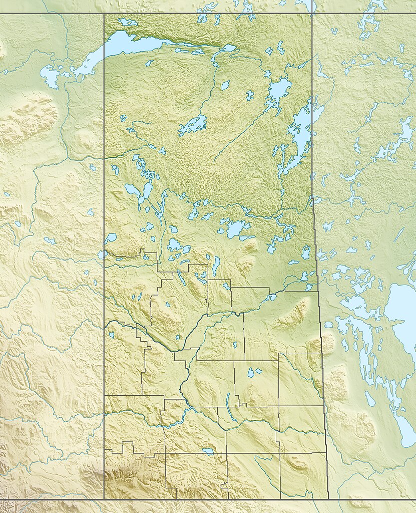
Quadratische Plattkarte, N-S-Streckung 170 %. Geographische Begrenzung der Karte:
Equirectangular projection, N/S stretching 170 %. Geographic limits of the map:
|
| Date | |
| Source |
Own work, using
|
| Author | Carport |
| Permission (Reusing this file) |
This file is licensed under the Creative Commons Attribution-Share Alike 3.0 Unported license.
|
| Other versions |
|

File history
Click on a date/time to view the file as it appeared at that time.
| Date/Time | Thumbnail | Dimensions | User | Comment | |
|---|---|---|---|---|---|
| current | 17:07, 30 November 2012 | | 2,184 × 2,691 (3.07 MB) | Carport (talk | contribs) | {{Information |Description= {{de|Physische Positionskarte von Saskatchewan, Kanada}} Quadratische Plattkarte, N-S-Streckung 170 %. Geographische Begrenzung der Karte: * N: 60.3° N * S: 48.7° N * W: 114.0° W * O: 9... |
You cannot overwrite this file.
File usage on Commons
The following page uses this file:
File usage on other wikis
The following other wikis use this file:
- Usage on ar.wikipedia.org
- Usage on ban.wikipedia.org
- Usage on be-tarask.wikipedia.org
- Usage on bg.wikipedia.org
- Usage on ca.wikipedia.org
- Usage on cs.wikipedia.org
- Usage on de.wikipedia.org
- Athabascasee
- Primrose Lake
- Uranbergwerk Cigar Lake
- Reindeer Lake
- Cypress Hills
- Wollaston Lake
- McArthur-River-Uranmine
- Gardiner-Staudamm
- Turtle Lake (Saskatchewan)
- Vorlage:Positionskarte Kanada Saskatchewan
- Wikipedia:Kartenwerkstatt/Positionskarten/Nordamerika
- Lake Diefenbaker
- Cree Lake
- Black Lake (Fond du Lac River, Saskatchewan)
- Lac la Ronge
- Selwyn Lake
- Peter Pond Lake
- Doré Lake
- Churchill Lake (Saskatchewan)
- Montreal Lake (Saskatchewan)
- Frobisher Lake
- Deschambault Lake
- Amisk Lake
- Pinehouse Lake
- Redberry Lake
- Lac la Plonge
- Lac Île-à-la-Crosse
- Porcupine Hills Provincial Park
- Lac La Ronge Provincial Park
View more global usage of this file.