File:CarteEspagneGéoloc.svg
Jump to navigation
Jump to search

Size of this PNG preview of this SVG file: 769 × 555 pixels. Other resolutions: 320 × 231 pixels | 640 × 462 pixels | 1,024 × 739 pixels | 1,280 × 924 pixels | 2,560 × 1,848 pixels.
Original file (SVG file, nominally 769 × 555 pixels, file size: 668 KB)
Captions
Captions
Add a one-line explanation of what this file represents
Summary
[edit]
| Description |
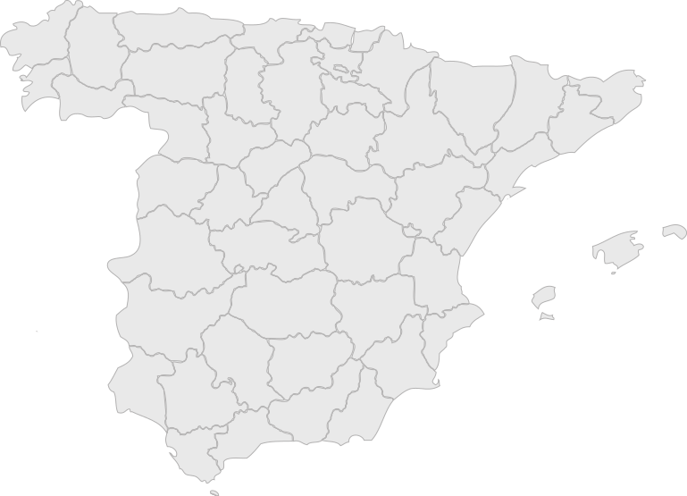
Español: Mapa de España (sin Canarias ni Melilla) |
| Date | (UTC) |
| Source | Own work (based on CarteEspagne.svg) |
| Author | Céréales Killer (original by ZTC) |
| Permission (Reusing this file) |
GFDL/CC-BY-SA |
| Other versions | Image:CarteEspagne.svg (original map) |
Licensing
[edit]
I, the copyright holder of this work, hereby publish it under the following licenses:

|
Permission is granted to copy, distribute and/or modify this document under the terms of the GNU Free Documentation License, Version 1.2 or any later version published by the Free Software Foundation; with no Invariant Sections, no Front-Cover Texts, and no Back-Cover Texts. A copy of the license is included in the section entitled GNU Free Documentation License. |
| This file is licensed under the Creative Commons Attribution-Share Alike 3.0 Unported license. | ||
| ||
| This licensing tag was added to this file as part of the GFDL licensing update. |
This file is licensed under the Creative Commons Attribution-Share Alike 2.5 Generic, 2.0 Generic and 1.0 Generic license.
- You are free:
- to share – to copy, distribute and transmit the work
- to remix – to adapt the work
- Under the following conditions:
- attribution – You must give appropriate credit, provide a link to the license, and indicate if changes were made. You may do so in any reasonable manner, but not in any way that suggests the licensor endorses you or your use.
- share alike – If you remix, transform, or build upon the material, you must distribute your contributions under the same or compatible license as the original.
You may select the license of your choice.
File history
Click on a date/time to view the file as it appeared at that time.
| Date/Time | Thumbnail | Dimensions | User | Comment | |
|---|---|---|---|---|---|
| current | 16:14, 7 April 2007 | | 769 × 555 (668 KB) | Céréales Killer (talk | contribs) | |
| 15:48, 7 April 2007 |  | 787 × 832 (702 KB) | Céréales Killer (talk | contribs) | {{Information |Description=Carte aplanie d'Espagne |Source=Own work |Date=~~~~~ |Author=Céréales Killer |Permission=GFDL/CC-BY-SA |other_versions= }} |
You cannot overwrite this file.
File usage on Commons
There are no pages that use this file.
File usage on other wikis
The following other wikis use this file:
- Usage on oc.wikipedia.org
- Perpinhan
- Prada de Conflent
- Sevilha
- Toledo
- Utilizaire:Jiròni
- Riudoms
- Terrassa
- Modèl:Infobox Comuna d'Espanha
- Modèl:Espgeoloc
- Tortosa
- Cabestany
- Compostèla
- Almazán
- Còrdoa
- Mérida (Espanha)
- Castelhon de la Plana
- Granada
- Almeria
- Villalbos
- La Pobla de Segur
- Valls
- Ullastrell
- La Baronia de Rialb
- Arboçòls
- Calce
- Montner
- L'Albera
- Alenyà
- Els Banys i Palaldà
- Els Angles
- Les Cases de Pena
- Angostrina i Vilanova de les Escaldes
- La Llaguna
- Castell de Vernet
- Pollestres
- Argelers
- Castellnou dels Aspres
- Llauró
- Serdinyà
- Llo
- Vallcebollera
- Arles de Tec
- Catllà de Conflent
- Serrallonga
- Pontellà
- Llupià
- Vallmanya
- Aiguatèbia i Talau
- Porta
- Bages de Rosselhon
View more global usage of this file.