File:Cartes CCTS.PNG
Jump to navigation
Jump to search
No higher resolution available.
Cartes_CCTS.PNG (320 × 362 pixels, file size: 16 KB, MIME type: image/png)
Captions
Captions
Add a one-line explanation of what this file represents
Summary[edit]
| Description |
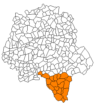
Français : La CCTS en Indre et Loire |
| Date | |
| Source | Own work |
| Author | Lhb-fr |
Licensing[edit]
| I, the copyright holder of this work, release this work into the public domain. This applies worldwide. In some countries this may not be legally possible; if so: I grant anyone the right to use this work for any purpose, without any conditions, unless such conditions are required by law. |
File history
Click on a date/time to view the file as it appeared at that time.
| Date/Time | Thumbnail | Dimensions | User | Comment | |
|---|---|---|---|---|---|
| current | 21:26, 27 July 2009 | | 320 × 362 (16 KB) | Lhb-fr (talk | contribs) | {{Information |Description={{fr|1=La CCTS en Indre et Loire}} |Source=Own work by uploader |Author=Lhb-fr |Date=2009-07-27 |Permission= |other_versions= }} Category:Cities and villages in Indre-et-Loire |
You cannot overwrite this file.
File usage on Commons
There are no pages that use this file.
File usage on other wikis
The following other wikis use this file:
- Usage on en.wikipedia.org
- Usage on fr.wikipedia.org
- Usage on www.wikidata.org