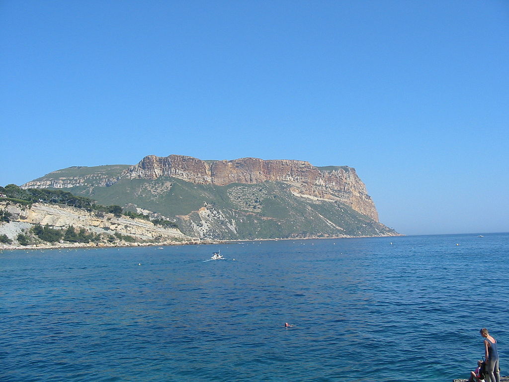
File:Cassis France1.jpg

From Wikimedia Commons, the free media repository
Jump to navigation Jump to search

Original file(1,600 × 1,200 pixels, file size: 492 KB, MIME type: image/jpeg)

Captions

Captions

Add a one-line explanation of what this file represents

Summary[edit]

Français : Cap Canaille, commune de Cassis, Bouches du Rhône, France. Cette portion du littoral est en Région PACA - selon le BRGM, Ifremer, et le "Plan séisme" français - le site plus à risque d'« instabilités de versant avec mobilisation brutale de terrain » en cas de secousse sismique importante. L'effondrement de la partie terrestre ou sous-marine d'une telle structure générerait un tsunami et une onde de fond capable de remettre en suspension d'énormes quantité de particules fines issues de la décharge sous-marine proche (Fosse de Cassidaigne) de l'usine Pechiney/Rio Tinto Alcan. cette zone est dite « tsunamogéniques »
English: Cap canaille (= Dirty Cape), near Cassis, Department of Bouches du Rhone, France. This portion of the coast is in the PACA region - by BRGM, IFREMER, and the french "Earthquake Master plan" - the site most at risk of "unstable slopes with heavy mobilisation of rocks" in case of a significant earthquake. In this case, the collapse of continental and submarine terrain could generate a Tsunami and a wave background can resuspend an enormous amount of fine particles from the underwater industrial discharge close (Fosse Cassidaigne) of plant Pechiney / Alcan Rio Tinto. in french, this sort of area is called "tsunamogéniques"
Description
Date
Source Own work
Author Tom Corser
Permission
(Reusing this file)

This photo was taken by Tom Corser and is © Tom Corser 2009.

This photo may be reproduced at up to 1024 x 768 pixels resolution under the terms of the Creative Commons Attribution ShareAlike 2.0 England & Wales (UK) Licence [1] (unless otherwise stated).

Please credit this photo Tom Corser www.tomcorser.com. If using this photo, make sure you properly credit and specify the licence that this photo is licensed under. (E.g. "Photo by Tom Corser www.tomcorser.com. Licensed under Creative Commons Attribution ShareAlike 2.0 England & Wales (UK) Licence: https://creativecommons.org/licenses/by-sa/2.0/uk/deed.en_GB").

If you would like to use this photo under a different license, or at a higher resolution please contact me via www.tomcorser.com[2] or email tomcorser@gmail.com.

w:en:Creative Commons
attribution share alike
This file is licensed under the Creative Commons Attribution-Share Alike 2.0 UK: England & Wales license.
Attribution: Tom Corser www.tomcorser.com
You are free:
  • to share – to copy, distribute and transmit the work
  • to remix – to adapt the work
Under the following conditions:
  • attribution – You must give appropriate credit, provide a link to the license, and indicate if changes were made. You may do so in any reasonable manner, but not in any way that suggests the licensor endorses you or your use.
  • share alike – If you remix, transform, or build upon the material, you must distribute your contributions under the same or compatible license as the original.

File history

Click on a date/time to view the file as it appeared at that time.

Date/TimeThumbnailDimensionsUserComment
current16:07, 30 August 2005Thumbnail for version as of 16:07, 30 August 20051,600 × 1,200 (492 KB)Cyr Photos (talk | contribs){{cc-by-sa-2.0-uk}} {{TomCorserCredit}} Category:photos by Tom Corser

The following page uses this file:

File usage on other wikis

The following other wikis use this file:

  • Usage on eo.wikipedia.org

Metadata