File:Cattle plague map.jpg
Jump to navigation
Jump to search

Size of this preview: 668 × 599 pixels. Other resolutions: 268 × 240 pixels | 535 × 480 pixels | 856 × 768 pixels | 1,142 × 1,024 pixels | 2,283 × 2,048 pixels | 4,334 × 3,888 pixels.
Original file (4,334 × 3,888 pixels, file size: 9.7 MB, MIME type: image/jpeg)
Captions
Captions
Add a one-line explanation of what this file represents
Summary[edit]
| Description |
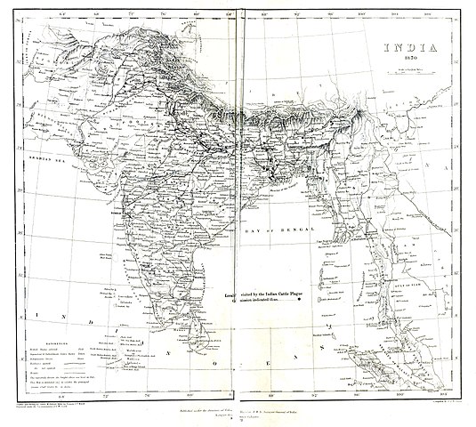
Map of cattle plague investigations by J.H.B. Hallen |
|||||||||
| Date | ||||||||||
| Source | Report of Indian cattle plagues 1871 | |||||||||
| Creator |
J.H.B. Hallen |
|||||||||
| Permission (Reusing this file) |
|
|||||||||
| Geotemporal data | ||||||||||
| Bounding box |
|
|||||||||
| Georeferencing | ||||||||||
File history
Click on a date/time to view the file as it appeared at that time.
| Date/Time | Thumbnail | Dimensions | User | Comment | |
|---|---|---|---|---|---|
| current | 07:25, 25 July 2020 | | 4,334 × 3,888 (9.7 MB) | Shyamal (talk | contribs) | {{Map |Description=Map of cattle plague investigations by J.H.B. Hallen |Source=[https://archive.org/details/b24749254 Report of Indian cattle plagues 1871] |Date=1871 |Author=J.H.B. Hallen |Permission={{pd-old-100}} |other_versions= }} Category:Maps of India Category:Diseases and disorders of animals |
You cannot overwrite this file.
File usage on Commons
There are no pages that use this file.