File:Changsha-map.png
(Redirected from File:Changsha-map.GIF)
Size of this preview: 800 × 322 pixels. Other resolutions: 320 × 129 pixels | 1,000 × 403 pixels.
Original file (1,000 × 403 pixels, file size: 10 KB, MIME type: image/png)
Captions
Captions
Add a one-line explanation of what this file represents
This image was copied from wikipedia:zh. The original description was:

|
Permission is granted to copy, distribute and/or modify this document under the terms of the GNU Free Documentation License, Version 1.2 or any later version published by the Free Software Foundation; with no Invariant Sections, no Front-Cover Texts, and no Back-Cover Texts. A copy of the license is included in the section entitled GNU Free Documentation License. |
| This file is licensed under the Creative Commons Attribution-Share Alike 3.0 Unported license. | ||
| ||
| This licensing tag was added to this file as part of the GFDL licensing update. |
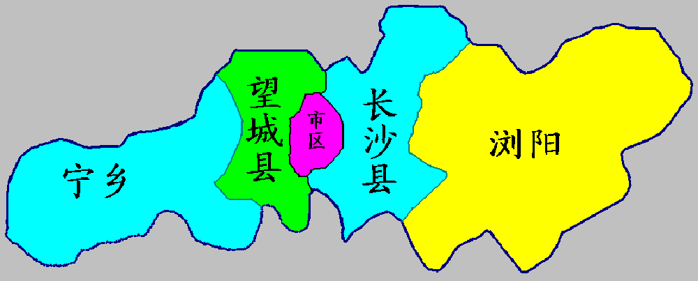
长沙行政区划示意图,Cncs根据模板绘制,2005-12-06
| date/time | username | resolution | size | edit summary |
|---|---|---|---|---|
| 2005年12月6日 (二) 10:31 | Cncs wikipedia | 1000×403 | 12 KB | {{GFDL|migration=relicense}} <a href="/wiki/%E9%95%BF%E6%B2%99%E8%A1%8C%E6%94%BF%E5%8C%BA%E5%88%92" title="长沙行政区划">长沙行政区划</a>示意图,<a href="/wiki/User:Cncs_wikipedia" title="User:Cncs wikipedia">Cncs</a>根据模板绘制,2005-12-06 |

|
This locator map image could be re-created using vector graphics as an SVG file. This has several advantages; see Commons:Media for cleanup for more information. If an SVG form of this image is available, please upload it and afterwards replace this template with
{{vector version available|new image name}}.
It is recommended to name the SVG file “Changsha-map.svg”—then the template Vector version available (or Vva) does not need the new image name parameter. |
Original upload log[edit]
| Date/Time | Dimensions | User | Comment |
|---|---|---|---|
| 25 October 2007, 03:43:29 | 1000 × 403 (12127 bytes) | Shizhao (talk · contribs) | This image was copied from wikipedia:zh. The original description was: {{GFDL}} [[长沙行政区划]]示意图,[[User:Cncs_wikipedia|Cncs]]根据模板绘制,2005-12-06 {| border="1" ! date/time || username || resolution || size || edit summary |-- |
File history
Click on a date/time to view the file as it appeared at that time.
| Date/Time | Thumbnail | Dimensions | User | Comment | |
|---|---|---|---|---|---|
| current | 08:05, 21 November 2014 | 1,000 × 403 (10 KB) | GifTagger (talk | contribs) | Bot: Converting file to superior PNG file. (Source: Changsha-map.GIF). This GIF was problematic due to non-greyscale color table. |
You cannot overwrite this file.
File usage on Commons
The following page uses this file:
- File:Changsha-map.GIF (file redirect)