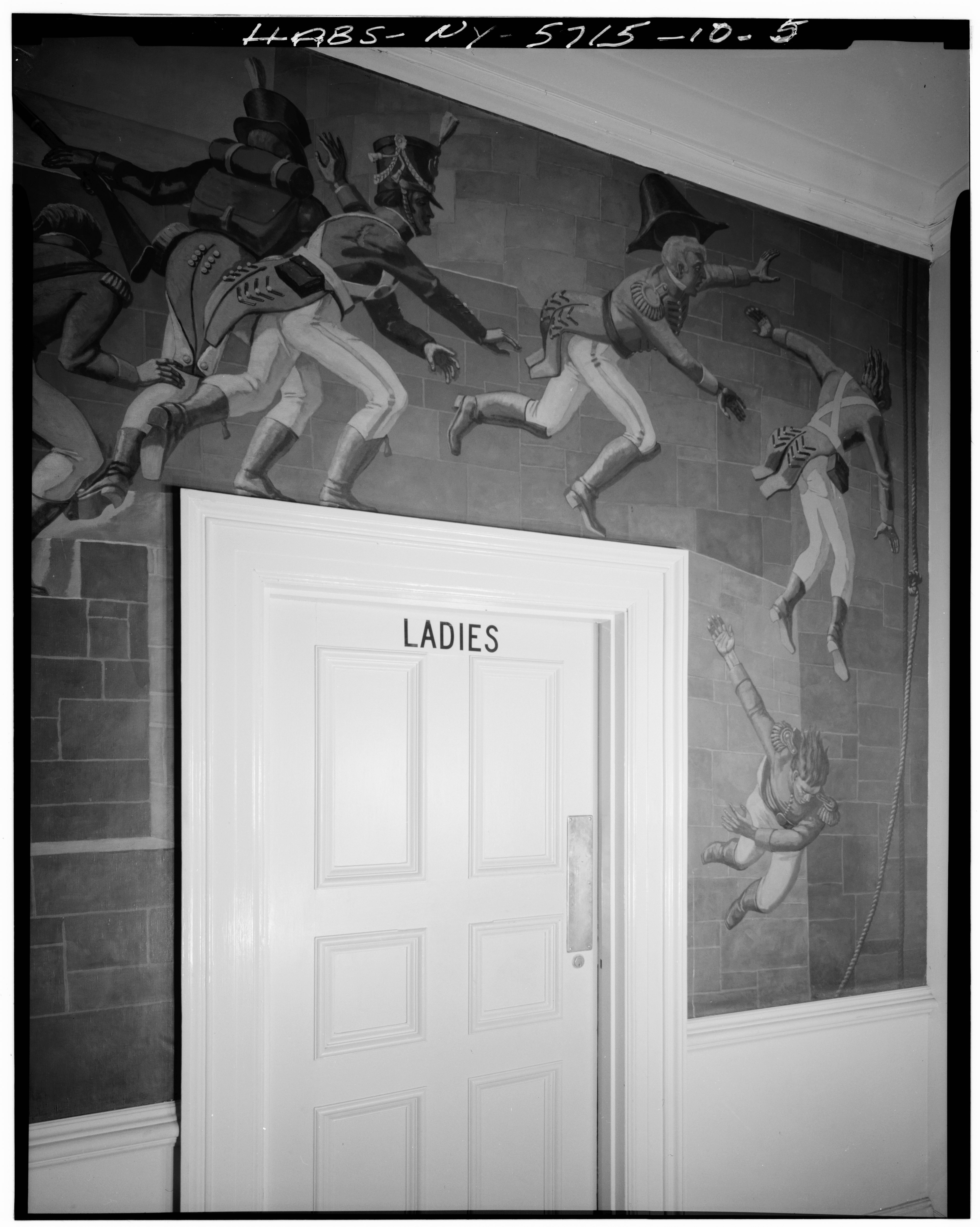
File:DETAIL OF MURAL ON SOUTH WALL OF ENTRANCE HALL WHICH RUNS EAST AND WEST - Governors Island, Second Corps Area Headquarters, New York Harbor near Andes Road, New York, New York HABS NY,31-GOVI,10-5.tif
Jump to navigation
Jump to search

Size of this JPG preview of this TIF file: 479 × 600 pixels. Other resolutions: 192 × 240 pixels | 383 × 480 pixels | 614 × 768 pixels | 818 × 1,024 pixels | 1,636 × 2,048 pixels | 3,959 × 4,955 pixels.
Original file (3,959 × 4,955 pixels, file size: 18.71 MB, MIME type: image/tiff)
Captions
Captions
Add a one-line explanation of what this file represents
Summary[edit]
| DETAIL OF MURAL ON SOUTH WALL OF ENTRANCE HALL WHICH RUNS EAST AND WEST - Governors Island, Second Corps Area Headquarters, New York Harbor near Andes Road, New York, New York County, NY | ||||
|---|---|---|---|---|
| Photographer |
Lowe, Jet |
|||
| Title |
DETAIL OF MURAL ON SOUTH WALL OF ENTRANCE HALL WHICH RUNS EAST AND WEST - Governors Island, Second Corps Area Headquarters, New York Harbor near Andes Road, New York, New York County, NY |
|||
| Depicted place | New York; New York County; New York | |||
| Date | 1985 | |||
| Dimensions | 4 x 5 in. | |||
| Current location |
Library of Congress Prints and Photographs Division Washington, D.C. 20540 USA http://hdl.loc.gov/loc.pnp/pp.print |
|||
| Accession number |
HABS NY,31-GOVI,10-5 |
|||
| Credit line |
|
|||
| Notes |
|
|||
| References |
|
|||
| Source | https://www.loc.gov/pictures/item/ny1506.photos.118124p | |||
| Permission (Reusing this file) |
|
|||

| Object location | | View this and other nearby images on: OpenStreetMap |
|---|
File history
Click on a date/time to view the file as it appeared at that time.
| Date/Time | Thumbnail | Dimensions | User | Comment | |
|---|---|---|---|---|---|
| current | 18:16, 29 July 2014 |  | 3,959 × 4,955 (18.71 MB) | Fæ (talk | contribs) | GWToolset: Creating mediafile for Fæ. HABS 24 July 2014 (2301:2600) |
You cannot overwrite this file.
File usage on Commons
The following page uses this file: