File:DETAIL OF USCandGS MARKER IN SECTION D. VIEW TO SOUTHEAST. - Alexandria National Cemetery, 209 East Shamrock Street, Pineville, Rapides Parish, LA HALS LA-4-32.tif
Jump to navigation
Jump to search
Size of this JPG preview of this TIF file: 800 × 595 pixels. Other resolutions: 320 × 238 pixels | 640 × 476 pixels | 1,024 × 761 pixels | 1,280 × 951 pixels | 2,560 × 1,903 pixels | 4,999 × 3,716 pixels.
Original file (4,999 × 3,716 pixels, file size: 17.72 MB, MIME type: image/tiff)
Captions
Captions
Add a one-line explanation of what this file represents
Summary[edit]
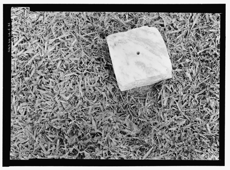
| DETAIL OF USCandGS MARKER IN SECTION D. VIEW TO SOUTHEAST. - Alexandria National Cemetery, 209 East Shamrock Street, Pineville, Rapides Parish, LA | ||||
|---|---|---|---|---|
| Photographer |
Fraser, Clayton B. Fraserdesign. |
|||
| Title |
DETAIL OF USCandGS MARKER IN SECTION D. VIEW TO SOUTHEAST. - Alexandria National Cemetery, 209 East Shamrock Street, Pineville, Rapides Parish, LA |
|||
| Description |
U.S. Department of Veterans Affairs |
|||
| Depicted place | Louisiana; Rapides Parish; Pineville | |||
| Date | Documentation compiled after 2000; 2006 | |||
| Dimensions | 5 x 7 in. | |||
| Current location |
Library of Congress Prints and Photographs Division Washington, D.C. 20540 USA http://hdl.loc.gov/loc.pnp/pp.print |
|||
| Accession number |
HALS LA-4-32 |
|||
| Credit line |
|
|||
| Notes |
|
|||
| References |
|
|||
| Source | https://www.loc.gov/pictures/item/la0505.photos.365003p | |||
| Permission (Reusing this file) |
|
|||

| Object location | | View this and other nearby images on: OpenStreetMap |
|---|
File history
Click on a date/time to view the file as it appeared at that time.
| Date/Time | Thumbnail | Dimensions | User | Comment | |
|---|---|---|---|---|---|
| current | 04:20, 18 July 2014 |  | 4,999 × 3,716 (17.72 MB) | Fæ (talk | contribs) | GWToolset: Creating mediafile for Fæ. HABS 17 July 2014 (1401:1600) |
You cannot overwrite this file.
File usage on Commons
The following page uses this file: