File:Dec10noreaster.png
Jump to navigation
Jump to search
No higher resolution available.
Dec10noreaster.png (640 × 480 pixels, file size: 135 KB, MIME type: image/png)
Captions
Captions
Add a one-line explanation of what this file represents
Summary[edit]
| Description |
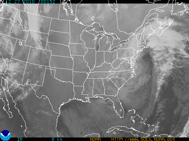
English: Infrared satellite image taken of Eastern United States |
| Date | |
| Source | National Oceanic and Atmospheric Administration |
| Author | Geostationary Satellite Server |
Licensing[edit]
This image is in the public domain because it contains materials that originally came from the U.S. National Oceanic and Atmospheric Administration, taken or made as part of an employee's official duties.
|
Original upload log[edit]
| Date/Time | Dimensions | User | Comment |
|---|---|---|---|
| 27 December 2010, 15:42:24 | 640 × 480 (166859 bytes) | Leizmonk (talk · contribs) | {{Information |Description={{en|1=Infrared satellite image taken of Eastern United States}} |Source=National Oceanic and Atmospheric Administration |Author=Geostationary Satellite Server |Date=2010-12-27 |Permission={{PD-USGov-NOAA}} |other_versions= }} |
File history
Click on a date/time to view the file as it appeared at that time.
| Date/Time | Thumbnail | Dimensions | User | Comment | |
|---|---|---|---|---|---|
| current | 11:36, 10 December 2014 | | 640 × 480 (135 KB) | GifTagger (talk | contribs) | Bot: Converting file to superior PNG file. (Source: Dec10noreaster.GIF). This GIF was problematic due to non-greyscale color table. |
You cannot overwrite this file.
File usage on Commons
The following page uses this file:
- File:Dec10noreaster.GIF (file redirect)
File usage on other wikis
The following other wikis use this file:
- Usage on el.wikinews.org
- Usage on en.wikipedia.org
- Usage on en.wikinews.org
- Usage on ru.wikinews.org