File:Detail of half-circular window in gable end of east side. View to west - Crow Agency, Employee's Quarters, East of north end of Weaver Drive; Crow Indian Reservation, Crow Agency, Big HABS MT-79-A-8.tif
Jump to navigation
Jump to search

Size of this JPG preview of this TIF file: 738 × 600 pixels. Other resolutions: 295 × 240 pixels | 591 × 480 pixels | 945 × 768 pixels | 1,260 × 1,024 pixels | 2,521 × 2,048 pixels | 5,339 × 4,338 pixels.
Original file (5,339 × 4,338 pixels, file size: 22.09 MB, MIME type: image/tiff)
Captions
Captions
Add a one-line explanation of what this file represents
Summary[edit]
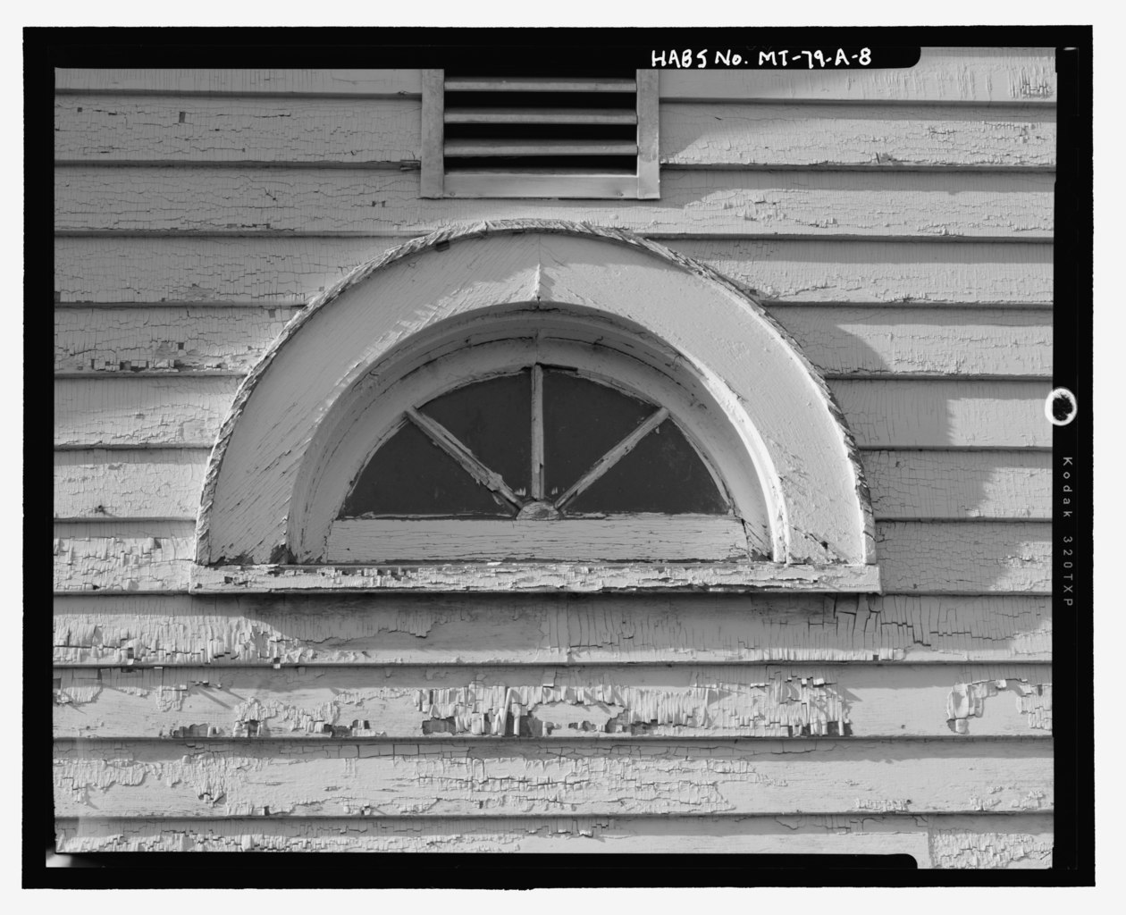
| Detail of half-circular window in gable end of east side. View to west - Crow Agency, Employee's Quarters, East of north end of Weaver Drive; Crow Indian Reservation, Crow Agency, Big Horn County, MT | ||||
|---|---|---|---|---|
| Photographer |
Selyem, Bruce |
|||
| Title |
Detail of half-circular window in gable end of east side. View to west - Crow Agency, Employee's Quarters, East of north end of Weaver Drive; Crow Indian Reservation, Crow Agency, Big Horn County, MT |
|||
| Depicted place | Montana; Big Horn County; Crow Agency | |||
| Date | 2005 | |||
| Dimensions | 4 x 5 in. | |||
| Current location |
Library of Congress Prints and Photographs Division Washington, D.C. 20540 USA http://hdl.loc.gov/loc.pnp/pp.print |
|||
| Accession number |
HABS MT-79-A-8 |
|||
| Credit line |
|
|||
| Notes |
|
|||
| Source | https://www.loc.gov/pictures/item/mt0486.photos.363460p | |||
| Permission (Reusing this file) |
|
|||

| Object location | | View this and other nearby images on: OpenStreetMap |
|---|
File history
Click on a date/time to view the file as it appeared at that time.
| Date/Time | Thumbnail | Dimensions | User | Comment | |
|---|---|---|---|---|---|
| current | 20:48, 28 July 2014 |  | 5,339 × 4,338 (22.09 MB) | Fæ (talk | contribs) | GWToolset: Creating mediafile for Fæ. HABS 24 July 2014 (2001:2300) |
You cannot overwrite this file.
File usage on Commons
The following page uses this file: