File:EUFA.png
Jump to navigation
Jump to search

Size of this preview: 800 × 407 pixels. Other resolutions: 320 × 163 pixels | 640 × 325 pixels | 1,024 × 521 pixels | 1,280 × 651 pixels | 2,753 × 1,400 pixels.
Original file (2,753 × 1,400 pixels, file size: 89 KB, MIME type: image/png)
Captions
Captions
Add a one-line explanation of what this file represents

|
This file has been superseded by Eurosphere.svg. It is recommended to use the other file. Please note that deleting superseded images requires consent.
|
Summary[edit]
| Description |
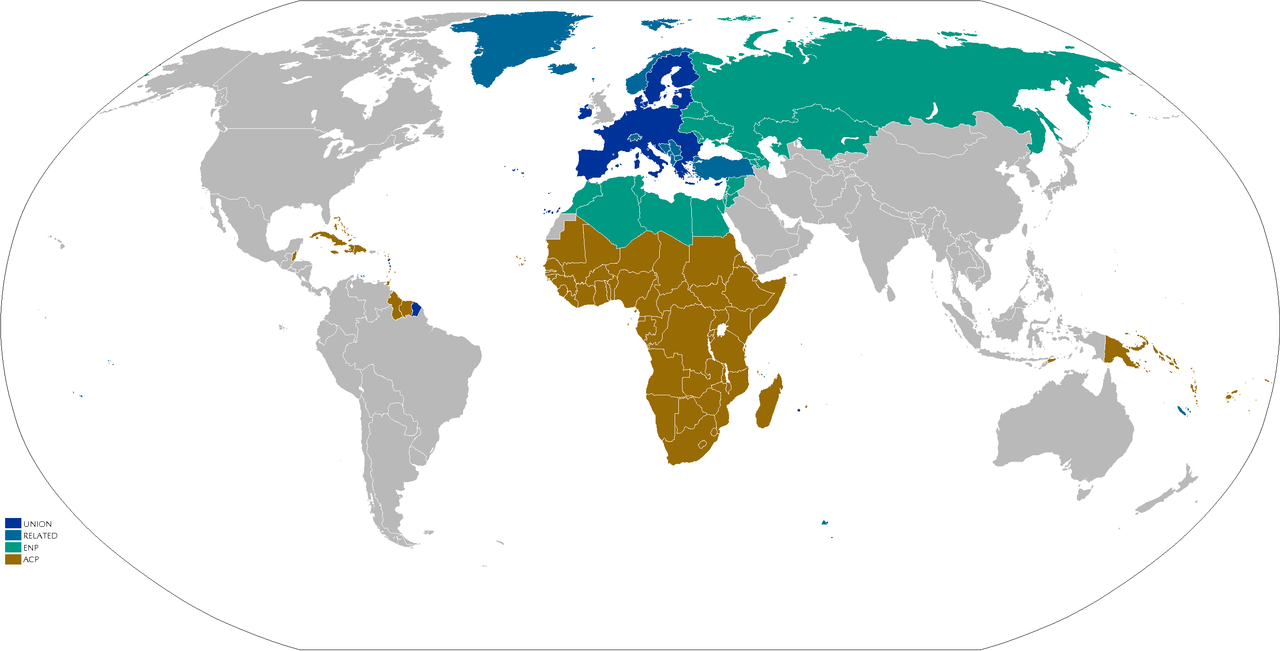
English: Map showing;
Adapted from Image:EUmap.png Adaption on work. |
||||||||
| Date | (see upload date) | ||||||||
| Source | No machine-readable source provided. Own work assumed (based on copyright claims). | ||||||||
| Author | No machine-readable author provided. JLogan assumed (based on copyright claims). | ||||||||
| Permission (Reusing this file) |
|

File history
Click on a date/time to view the file as it appeared at that time.
| Date/Time | Thumbnail | Dimensions | User | Comment | |
|---|---|---|---|---|---|
| current | 15:29, 25 August 2021 | | 2,753 × 1,400 (89 KB) | DankJae (talk | contribs) | UK isn't part of any of the organisations listed in the legend (on commons), so moved it to grey |
| 19:57, 10 February 2020 |  | 2,753 × 1,400 (51 KB) | Hektor Absurdus (talk | contribs) | update - UK moved to "related" | |
| 18:36, 27 March 2018 |  | 2,753 × 1,400 (103 KB) | Maphobbyist (talk | contribs) | South Sudan border | |
| 18:15, 8 July 2013 |  | 2,753 × 1,400 (174 KB) | U5K0 (talk | contribs) | croatia | |
| 15:56, 16 March 2009 |  | 2,753 × 1,400 (88 KB) | Wereon (talk | contribs) | the Crown Dependencies are not in the EU | |
| 19:17, 8 April 2007 |  | 2,753 × 1,400 (96 KB) | JLogan (talk | contribs) | Map showing; The EU EEA/EFTA/CU/Euro/Candiate/SAA ENP & Potential ENP ACP Adapted from Image:EUmap.png Adaption on work. {{GFDL-en}} Category:Maps of the European Union |
You cannot overwrite this file.
File usage on Commons
The following 2 pages use this file:
File usage on other wikis
The following other wikis use this file:
- Usage on ca.wikipedia.org
- Usage on en.wikipedia.org
- Usage on hu.wikipedia.org
- Usage on it.wikipedia.org
- Usage on ja.wikipedia.org
- Usage on pl.wikipedia.org
- Usage on pt.wikipedia.org
- Usage on ru.wikipedia.org
- Usage on tr.wikipedia.org
- Usage on uk.wikipedia.org
- Usage on uz.wikipedia.org