File:Elevation of southwest facade with scale - National Home for Disabled Volunteer Soldiers, Central Branch, Headquarters, 4100 West Third Street, Dayton, Montgomery County, OH HABS OH-2364-N-3.tif
Jump to navigation
Jump to search
Size of this JPG preview of this TIF file: 800 × 575 pixels. Other resolutions: 320 × 230 pixels | 640 × 460 pixels | 1,024 × 736 pixels | 1,280 × 919 pixels | 2,560 × 1,839 pixels | 5,055 × 3,631 pixels.
Original file (5,055 × 3,631 pixels, file size: 35.03 MB, MIME type: image/tiff)
Captions
Captions
Add a one-line explanation of what this file represents
Summary[edit]
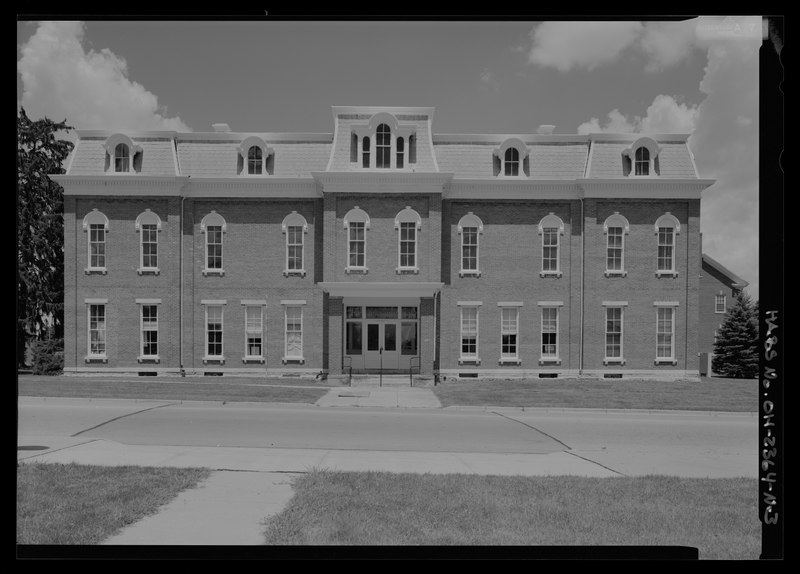
| Elevation of southwest facade with scale - National Home for Disabled Volunteer Soldiers, Central Branch, Headquarters, 4100 West Third Street, Dayton, Montgomery County, OH | ||||
|---|---|---|---|---|
| Photographer |
Rosenthal, James W. Related names:
|
|||
| Title |
Elevation of southwest facade with scale - National Home for Disabled Volunteer Soldiers, Central Branch, Headquarters, 4100 West Third Street, Dayton, Montgomery County, OH |
|||
| Depicted place | Ohio; Montgomery County; Dayton | |||
| Date | 2008 | |||
| Dimensions | 5 x 7 in. | |||
| Current location |
Library of Congress Prints and Photographs Division Washington, D.C. 20540 USA http://hdl.loc.gov/loc.pnp/pp.print |
|||
| Accession number |
HABS OH-2364-N-3 |
|||
| Credit line |
|
|||
| Notes |
|
|||
| References |
|
|||
| Source | https://www.loc.gov/pictures/item/oh1955.photos.574793p | |||
| Permission (Reusing this file) |
|
|||

| Object location | | View this and other nearby images on: OpenStreetMap |
|---|
File history
Click on a date/time to view the file as it appeared at that time.
| Date/Time | Thumbnail | Dimensions | User | Comment | |
|---|---|---|---|---|---|
| current | 15:22, 27 February 2022 |  | 5,055 × 3,631 (35.03 MB) | Engineerchange (talk | contribs) | reupload truncated tif from original source |
| 21:19, 30 July 2014 |  | 5,055 × 3,631 (22.95 MB) | Fæ (talk | contribs) | GWToolset: Creating mediafile for Fæ. HABS 30 July 2014 (2601:2900) |
You cannot overwrite this file.
File usage on Commons
The following page uses this file: