File:FIRST FLOOR ROOM, EAST SIDE - Rolland Apartments, 216-218 Second Avenue North, Great Falls, Cascade County, MT HABS MONT,7-GREFA,3-7.tif
Jump to navigation
Jump to search
Size of this JPG preview of this TIF file: 485 × 599 pixels. Other resolutions: 194 × 240 pixels | 389 × 480 pixels | 622 × 768 pixels | 829 × 1,024 pixels | 1,658 × 2,048 pixels | 4,044 × 4,995 pixels.
Original file (4,044 × 4,995 pixels, file size: 19.27 MB, MIME type: image/tiff)
Captions
Captions
Add a one-line explanation of what this file represents
Summary[edit]
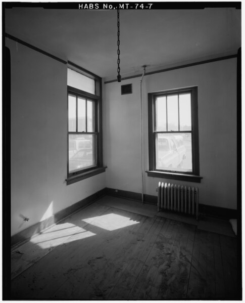
| FIRST FLOOR ROOM, EAST SIDE - Rolland Apartments, 216-218 Second Avenue North, Great Falls, Cascade County, MT | ||||
|---|---|---|---|---|
| Photographer |
Related names:
|
|||
| Title |
FIRST FLOOR ROOM, EAST SIDE - Rolland Apartments, 216-218 Second Avenue North, Great Falls, Cascade County, MT |
|||
| Depicted place | Montana; Cascade County; Great Falls | |||
| Date | Documentation compiled after 1933 | |||
| Dimensions | 4 x 5 in. | |||
| Current location |
Library of Congress Prints and Photographs Division Washington, D.C. 20540 USA http://hdl.loc.gov/loc.pnp/pp.print |
|||
| Accession number |
HABS MONT,7-GREFA,3-7 |
|||
| Credit line |
|
|||
| Notes |
|
|||
| Source | https://www.loc.gov/pictures/item/mt0207.photos.101369p | |||
| Permission (Reusing this file) |
|
|||

| Object location | | View this and other nearby images on: OpenStreetMap |
|---|
File history
Click on a date/time to view the file as it appeared at that time.
| Date/Time | Thumbnail | Dimensions | User | Comment | |
|---|---|---|---|---|---|
| current | 19:05, 28 July 2014 |  | 4,044 × 4,995 (19.27 MB) | Fæ (talk | contribs) | GWToolset: Creating mediafile for Fæ. HABS 24 July 2014 (2001:2300) |
You cannot overwrite this file.
File usage on Commons
The following page uses this file: