File:Göteborg - KMB - 16001000314544.jpg
Jump to navigation
Jump to search
No higher resolution available.
Göteborg_-_KMB_-_16001000314544.jpg (787 × 524 pixels, file size: 112 KB, MIME type: image/jpeg)
Captions
Captions
Add a one-line explanation of what this file represents
| Camera location | | View this and other nearby images on: OpenStreetMap |
|---|
| Göteborg
( |
|||||||||||||||||||||||||||
|---|---|---|---|---|---|---|---|---|---|---|---|---|---|---|---|---|---|---|---|---|---|---|---|---|---|---|---|
| Photographer |
|
||||||||||||||||||||||||||
| Title |
Göteborg |
||||||||||||||||||||||||||
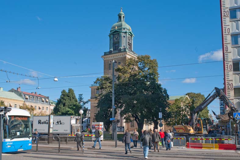
| Original caption |
Notera Av dokumentationsskäl har originalbeskrivningen från Riksantikvarieämbetet behållits. Tillrättalägganden och alternativa beskrivningar bör införas separat från nedanstående information. Domkyrkan, Kyrkogatan. Återfotografering av bild nr DB0151Felaktigheter kan även anmälas till denna sida. Motiv: Göteborg |
||||||||||||||||||||||||||
| Description |
Domkyrkan, Kyrkogatan. Återfotografering av bild nr DB0151. |
||||||||||||||||||||||||||
| Depicted place | Sweden, Gothenburg Municipality, Göteborg City | ||||||||||||||||||||||||||
| Date | 29 August 2010 | ||||||||||||||||||||||||||
| Collection |
|
||||||||||||||||||||||||||
| Accession number | |||||||||||||||||||||||||||
| Source |
Bengt A Lundberg / Kulturmiljöbild, Riksantikvarieämbetet
|
||||||||||||||||||||||||||
| Permission (Reusing this file) |
This file is licensed under the Creative Commons Attribution 2.5 Generic license. Attribution: Bengt A Lundberg / Riksantikvarieämbetet
|
||||||||||||||||||||||||||


| Object location | | View this and other nearby images on: OpenStreetMap |
|---|
File history
Click on a date/time to view the file as it appeared at that time.
| Date/Time | Thumbnail | Dimensions | User | Comment | |
|---|---|---|---|---|---|
| current | 16:27, 29 September 2017 | | 787 × 524 (112 KB) | AliciaFagervingWMSE-bot (talk | contribs) | {{Kulturmiljöbild-image | short title = Göteborg | original description = Domkyrkan, Kyrkogatan. Återfotografering av bild nr DB0151<br> Motiv: Göteborg<br> Nyckelord: Riksintressen<br> Kategori: Stadsmiljö, (01) Exteriörer | wiki description = D... |
You cannot overwrite this file.
File usage on Commons
The following page uses this file: