File:Gaviksfjärden S.JPG
Jump to navigation
Jump to search

Size of this preview: 800 × 533 pixels. Other resolutions: 320 × 213 pixels | 640 × 427 pixels | 1,024 × 683 pixels | 1,280 × 853 pixels | 2,560 × 1,707 pixels | 4,608 × 3,072 pixels.
Original file (4,608 × 3,072 pixels, file size: 6.45 MB, MIME type: image/jpeg)
Captions
Captions
Add a one-line explanation of what this file represents
| Description |
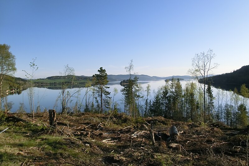
Svenska: Gaviksfjärden, fjärd i Höga kusten, Kramfors |
||
| Date | |||
| Source | Own work | ||
| Author | Own work | ||
| Permission (Reusing this file) |
|
| Object location | | View this and other nearby images on: OpenStreetMap |
|---|
File history
Click on a date/time to view the file as it appeared at that time.
| Date/Time | Thumbnail | Dimensions | User | Comment | |
|---|---|---|---|---|---|
| current | 10:36, 25 May 2012 | | 4,608 × 3,072 (6.45 MB) | Lavallen (talk | contribs) | {{Information |Description={{sv|Gaviksfjärden, fjärd i Höga kusten, Kramfors}} |Source={{own}} |Date=2012-05-25 |Author={{own}} |Permission={{PD-self}} |other_versions= }} {{object location|62|50|10|N|18|13|0|E}} Category:Bays of the Baltic Sea ... |
You cannot overwrite this file.
File usage on Commons
There are no pages that use this file.