File:Hanadiv Hights IMG 6465.JPG
Jump to navigation
Jump to search

Size of this preview: 400 × 600 pixels. Other resolutions: 160 × 240 pixels | 320 × 480 pixels | 512 × 768 pixels | 682 × 1,024 pixels | 1,365 × 2,048 pixels | 3,456 × 5,184 pixels.
Original file (3,456 × 5,184 pixels, file size: 9.02 MB, MIME type: image/jpeg)
Captions
Captions
Add a one-line explanation of what this file represents
Summary[edit]
| Description |
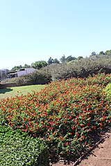
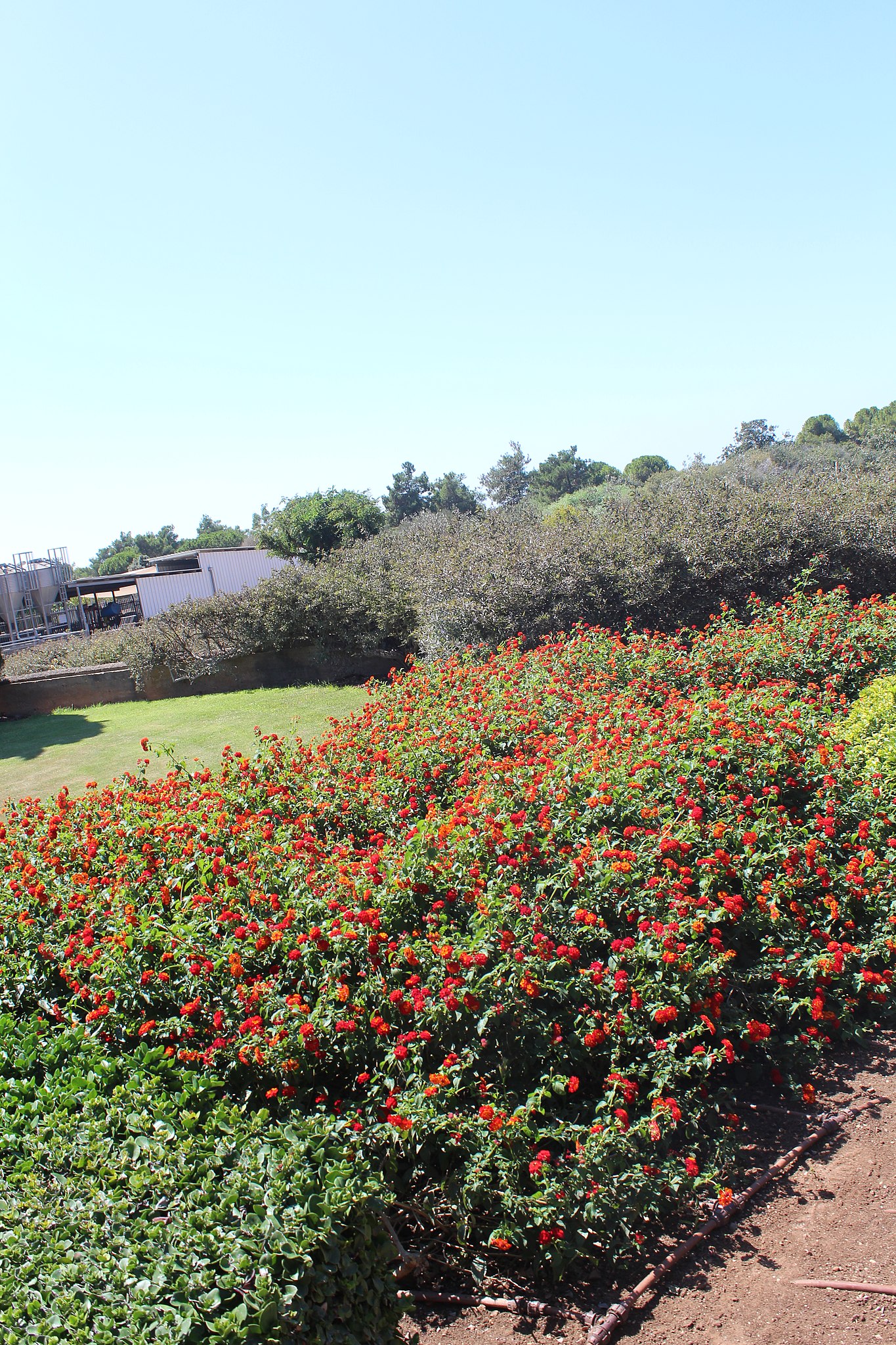
עברית: גני רמת הנדיב- פארק טבע רחב-ידיים, שהוקם סביב חלקת הקבר של הברון בנימין אדמונד דה רוטשילד הנמצא מדרום לזכרון יעקב.
English: Ramat Hanadiv ( Heights of the Benefactor) is a nature park and garden in northern Israel, covering 4.5 km (3 mi) at the southern end of Mount Carmel between Zikhron Ya'akov to the north and Binyamina to the south |
| Date | |
| Source | Own work |
| Author | Deror Avi |
Licensing[edit]
I, the copyright holder of this work, hereby publish it under the following license:
This file is licensed under the Creative Commons Attribution-Share Alike 4.0 International license.
- You are free:
- to share – to copy, distribute and transmit the work
- to remix – to adapt the work
- Under the following conditions:
- attribution – You must give appropriate credit, provide a link to the license, and indicate if changes were made. You may do so in any reasonable manner, but not in any way that suggests the licensor endorses you or your use.
- share alike – If you remix, transform, or build upon the material, you must distribute your contributions under the same or compatible license as the original.
File history
Click on a date/time to view the file as it appeared at that time.
| Date/Time | Thumbnail | Dimensions | User | Comment | |
|---|---|---|---|---|---|
| current | 14:23, 19 September 2019 | | 3,456 × 5,184 (9.02 MB) | Deror avi (talk | contribs) |
You cannot overwrite this file.
File usage on Commons
The following page uses this file: