File:House Tm-M-27.jpg
Jump to navigation
Jump to search
Size of this preview: 800 × 600 pixels. Other resolutions: 320 × 240 pixels | 640 × 480 pixels | 1,024 × 768 pixels | 1,280 × 960 pixels | 2,560 × 1,920 pixels | 2,816 × 2,112 pixels.
Original file (2,816 × 2,112 pixels, file size: 1.92 MB, MIME type: image/jpeg)
Captions
Captions
Add a one-line explanation of what this file represents
|
This is an image of a place or building that is listed on the National Register of Historic Places in the United States of America. Its reference number is 84002035. |
| Camera location | | View this and other nearby images on: OpenStreetMap |
|---|
| Description |
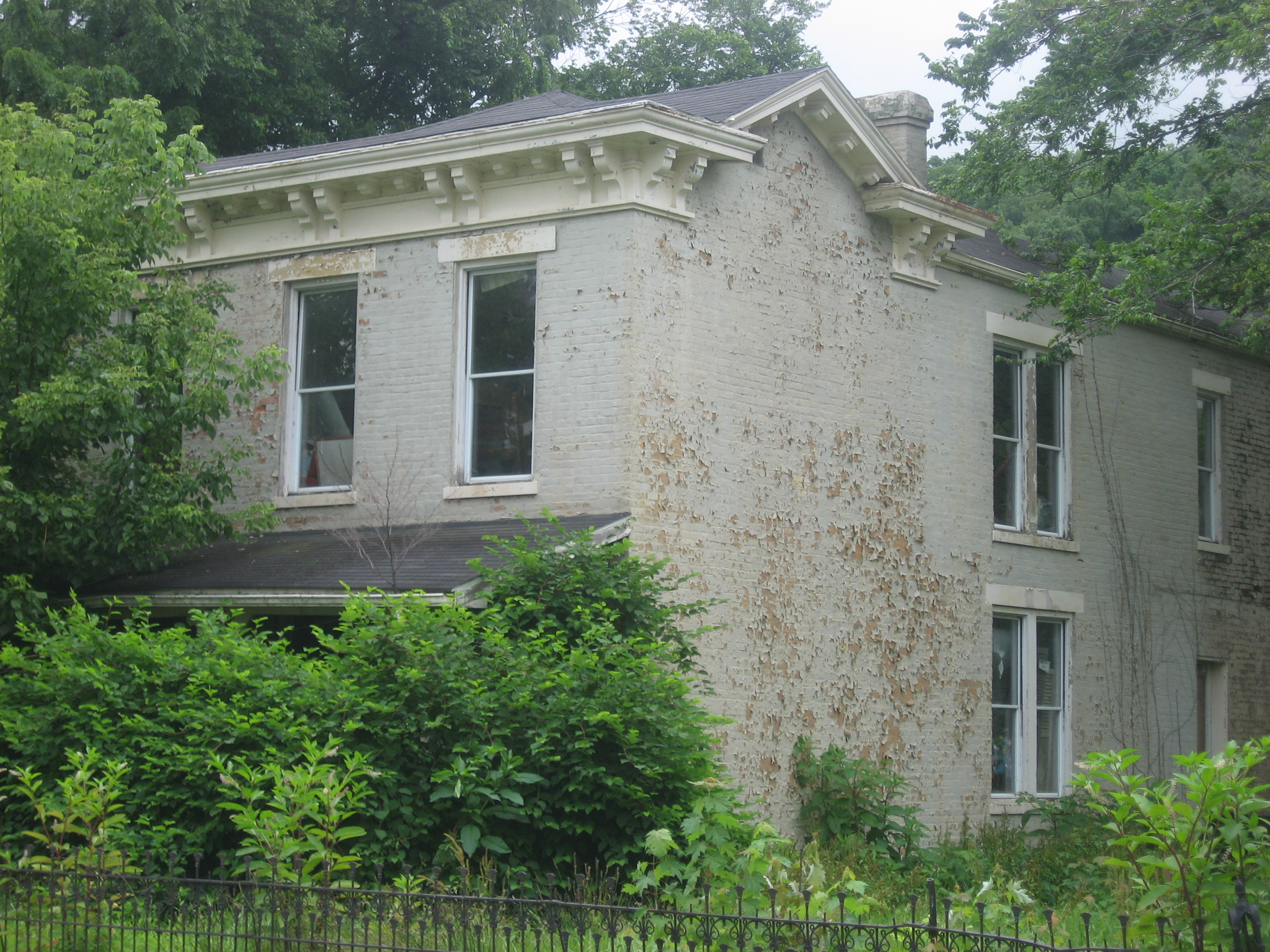
English: Front and western side of House Tm-M-27, located on the southwestern corner of the junction of Maple Street and Kentucky Route 36 in Milton, Kentucky, United States. Built in 1840, it is listed on the National Register of Historic Places. |
||
| Date | Taken on 5 July 2013 | ||
| Source | Own work | ||
| Author | Nyttend | ||
| Permission (Reusing this file) |
|
File history
Click on a date/time to view the file as it appeared at that time.
| Date/Time | Thumbnail | Dimensions | User | Comment | |
|---|---|---|---|---|---|
| current | 01:40, 4 August 2013 | | 2,816 × 2,112 (1.92 MB) | Nyttend (talk | contribs) | {{NRHP|84002035}} {{Location|38|43|27.5|N|85|21|57.5|W}} {{Information |Description={{en|Front and western side of {{w|House Tm-M-27}}, located on the southwestern corner of the junction of Maple Street and {{w|Kentucky Route 36}} in {{w|Milton, Kentuc... |
You cannot overwrite this file.
File usage on Commons
The following page uses this file:
File usage on other wikis
The following other wikis use this file:
- Usage on en.wikipedia.org