File:KT-Ibigawa Station-Aerial photography 1946.jpg
Jump to navigation
Jump to search
No higher resolution available.
KT-Ibigawa_Station-Aerial_photography_1946.jpg (627 × 367 pixels, file size: 110 KB, MIME type: image/jpeg)
Captions
Captions
Add a one-line explanation of what this file represents
Summary[edit]
| Description |
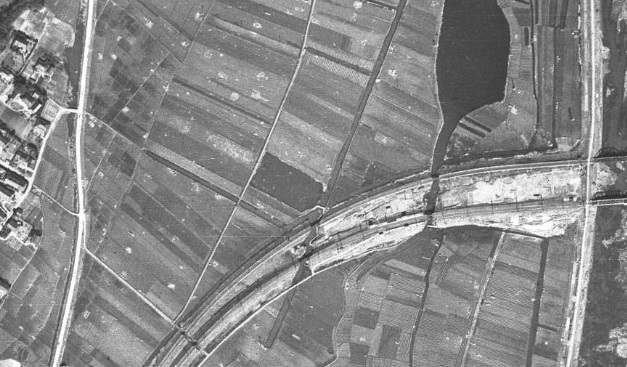
English: Kintetsu Railway Nagoy Line Ibigawa Station
日本語: 近鉄名古屋線 揖斐川駅 |
| Date | |
| Source |
|
| Author |
日本語: 国土地理院
|
Licensing[edit]

|
The copyright holder of this file, Ministry of Land, Infrastructure, Transport and Tourism, allows anyone to use it for any purpose, provided that the copyright holder is properly attributed. Redistribution, derivative work, commercial use, and all other use is permitted. |
Attribution:
National Land Image Information (Color Aerial Photographs), created by Ministry of Land, Infrastructure, Transport and Tourism, distributed by Geospatial Information Authority of Japan
|

File history
Click on a date/time to view the file as it appeared at that time.
| Date/Time | Thumbnail | Dimensions | User | Comment | |
|---|---|---|---|---|---|
| current | 12:53, 22 July 2017 | | 627 × 367 (110 KB) | ButuCC (talk | contribs) | {{Information |description={{en|Kintetsu Railway Nagoy Line Ibigawa Station}} {{ja|1=近鉄名古屋線 揖斐川駅}} |date=1946-03-27 |source= *国土交通省「国土画像情報(カラー空中写真)」(配布元:国土地理院地図・... |
You cannot overwrite this file.
File usage on Commons
The following 3 pages use this file:
File usage on other wikis
The following other wikis use this file:
- Usage on www.wikidata.org