File:Karte A Sbg TA.svg
Jump to navigation
Jump to search

Size of this PNG preview of this SVG file: 707 × 599 pixels. Other resolutions: 283 × 240 pixels | 566 × 480 pixels | 906 × 768 pixels | 1,208 × 1,024 pixels | 2,416 × 2,048 pixels | 1,050 × 890 pixels.
Original file (SVG file, nominally 1,050 × 890 pixels, file size: 11 KB)
Captions
Captions
Add a one-line explanation of what this file represents
Summary[edit]
| Description |
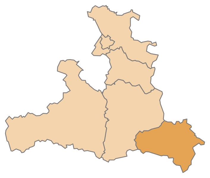
English: Map of the Austrian State Salzburg, highlighting Tamsweg
Deutsch: Karte des österreichischen Bundeslandes Salzburg, Tamsweg hervorgehoben |
| Date | |
| Source | Own work |
| Author | AleXXw |
Licensing[edit]
| I, the copyright holder of this work, release this work into the public domain. This applies worldwide. In some countries this may not be legally possible; if so: I grant anyone the right to use this work for any purpose, without any conditions, unless such conditions are required by law. |
File history
Click on a date/time to view the file as it appeared at that time.
| Date/Time | Thumbnail | Dimensions | User | Comment | |
|---|---|---|---|---|---|
| current | 12:40, 10 July 2010 | | 1,050 × 890 (11 KB) | AleXXw (talk | contribs) | == {{int:filedesc}} == {{Information |Description={{en|1=Map of the Austrian State Salzburg, highlighting Tamsweg}} {{de|1=Karte des österreichischen Bundeslandes Salzburg, Tamsweg hervorgehoben}} |Source=Eigenes Werk (own work) |Author=[[User:AleXXw|Ale |
You cannot overwrite this file.
File usage on Commons
The following page uses this file:
File usage on other wikis
The following other wikis use this file:
- Usage on an.wikipedia.org
- Usage on bs.wikipedia.org
- Usage on de.wikipedia.org
- Bezirk Tamsweg
- Mauterndorf
- Tamsweg
- Sankt Michael im Lungau
- Vorlage:Navigationsleiste Städte und Gemeinden im Bezirk Tamsweg
- Göriach
- Lessach
- Mariapfarr
- Muhr (Salzburg)
- Ramingstein
- Sankt Andrä im Lungau
- Sankt Margarethen im Lungau
- Thomatal
- Unternberg
- Weißpriach
- Zederhaus
- Tweng
- Denkmalgeschützte Objekte im Bezirk Tamsweg
- Wikipedia:WikiProjekt Österreich/checks/Navis/Salzburg
- Usage on de.wikivoyage.org
- Usage on eo.wikipedia.org
- Usage on et.wikipedia.org
- Usage on hu.wikipedia.org
- Usage on it.wikipedia.org
- Usage on lv.wikipedia.org
- Usage on pt.wikipedia.org
- Usage on ru.wikipedia.org
- Usage on sk.wikipedia.org
View more global usage of this file.