File:Kharkiv province location map2.PNG
Jump to navigation
Jump to search
No higher resolution available.
Kharkiv_province_location_map2.PNG (533 × 487 pixels, file size: 71 KB, MIME type: image/png)
Captions
Captions
Add a one-line explanation of what this file represents
Summary
[edit]| Description |
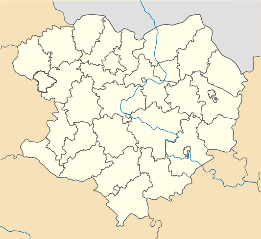
English: Location map of Kharkiv province, Ukraine with Kolomak raion Русский: Позиционная карта Харьковской области, Украина с Коломакским районом Українська: Карта Харківської області, Україна |
| Date | |
| Source | Own work |
| Author | Urutseg |
| Other versions |
|

Licensing
[edit]
| This work has been released into the public domain by its author, Urutseg. This applies worldwide. In some countries this may not be legally possible; if so: |
File history
Click on a date/time to view the file as it appeared at that time.
| Date/Time | Thumbnail | Dimensions | User | Comment | |
|---|---|---|---|---|---|
| current | 11:34, 12 June 2017 | | 533 × 487 (71 KB) | Ankry (talk | contribs) | colouring fixed |
| 12:41, 22 March 2012 |  | 533 × 487 (48 KB) | Kostpolt (talk | contribs) |
You cannot overwrite this file.
File usage on Commons
The following 26 pages use this file:
- File:Kharkiv province location map.svg
- Category:Architecture in Kharkiv Oblast
- Category:Births in Kharkiv Oblast
- Category:Bodies of water in Kharkiv Oblast
- Category:Bridges in Kharkiv Oblast
- Category:Culture of Kharkiv Oblast
- Category:Deaths in Kharkiv Oblast
- Category:Education in Kharkiv Oblast
- Category:Geography of Kharkiv Oblast
- Category:Hardware stores in Kharkiv Oblast
- Category:History of Kharkiv Oblast
- Category:Kharkiv Oblast
- Category:Lakes of Kharkiv Oblast
- Category:Maps of Kharkiv Oblast
- Category:Monasteries in Kharkiv Oblast
- Category:People of Kharkiv Oblast
- Category:Populated places in Kharkiv Oblast
- Category:Rail transport in Kharkiv Oblast
- Category:Raions of Kharkiv Oblast
- Category:Religion in Kharkiv Oblast
- Category:Roads in Kharkiv Oblast
- Category:Rural settlements in Kharkiv Oblast
- Category:Sports in Kharkiv Oblast
- Category:Stadiums in Kharkiv Oblast
- Category:Views of Kharkiv Oblast
- Category:Villages in Kharkiv Oblast
File usage on other wikis
The following other wikis use this file:
- Usage on cs.wikipedia.org
- Usage on pl.wikibooks.org
- Usage on tt.wikipedia.org
- Usage on www.wikidata.org