File:Kosciol sw Jozefa w Rudzie Slaskiej.jpg
Jump to navigation
Jump to search

Size of this preview: 800 × 564 pixels. Other resolutions: 320 × 226 pixels | 640 × 451 pixels | 1,024 × 722 pixels | 1,200 × 846 pixels.
Original file (1,200 × 846 pixels, file size: 573 KB, MIME type: image/jpeg)
Captions
Captions
Add a one-line explanation of what this file represents
Summary
[edit]
| Description |
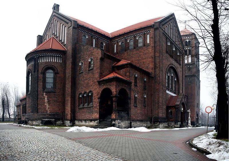
English: St. Joseph Church in Ruda Śląska (Silesia, Poland)
Deutsch: St. Josef Kirche in Ruda Śląska (Oberschlesien, Polen)
Polski: Kościół Św. Józefa w Rudzie Śląskiej (Polska) |
| Date | |
| Source | Own work |
| Author | Wacek |
| Openstreetmap entry | Link to Openstreetmap |
| Object location | | View this and other nearby images on: OpenStreetMap |
|---|
| Camera location | | View this and other nearby images on: OpenStreetMap |
|---|
Licensing
[edit]
| I, the copyright holder of this work, release this work into the public domain. This applies worldwide. In some countries this may not be legally possible; if so: I grant anyone the right to use this work for any purpose, without any conditions, unless such conditions are required by law. |
File history
Click on a date/time to view the file as it appeared at that time.
| Date/Time | Thumbnail | Dimensions | User | Comment | |
|---|---|---|---|---|---|
| current | 09:18, 4 February 2009 | | 1,200 × 846 (573 KB) | Wacek~commonswiki (talk | contribs) | {{Information |Description={{en|1=St. Joseph Church in Ruda Śląska (Silesia, Poland)}} {{de|1=St. Josef Kirche in Ruda Śląska (Oberschlesien, Polen)}} {{pl|1=Kościół Św. Józefa w Rudzie Śląskiej (Polska)}} |Source=Eigenes Werk (own work) |Autho |
You cannot overwrite this file.
File usage on Commons
The following page uses this file:
File usage on other wikis
The following other wikis use this file:
- Usage on de.wikipedia.org
- Usage on en.wikipedia.org
- Usage on pl.wikipedia.org
- Usage on vi.wikipedia.org
- Usage on www.wikidata.org