File:Koyo Dockyard, -6 Jun. 2012 a.jpg
Jump to navigation
Jump to search
Size of this preview: 800 × 428 pixels. Other resolutions: 320 × 171 pixels | 640 × 343 pixels | 1,024 × 548 pixels | 1,280 × 685 pixels | 2,764 × 1,480 pixels.
Original file (2,764 × 1,480 pixels, file size: 2.49 MB, MIME type: image/jpeg)
Captions
Captions
Add a one-line explanation of what this file represents
Summary[edit]
| Camera location | | View this and other nearby images on: OpenStreetMap |
|---|
Licensing[edit]
This file is licensed under the Creative Commons Attribution 2.1 Japan license.
Attribution: 中古侍
- You are free:
- to share – to copy, distribute and transmit the work
- to remix – to adapt the work
- Under the following conditions:
- attribution – You must give appropriate credit, provide a link to the license, and indicate if changes were made. You may do so in any reasonable manner, but not in any way that suggests the licensor endorses you or your use.

This file, which was originally posted to
photozou.jp, was reviewed on 7 June 2012 by reviewer Common Good, who confirmed that it was available there under the stated license on that date.
|
File history
Click on a date/time to view the file as it appeared at that time.
| Date/Time | Thumbnail | Dimensions | User | Comment | |
|---|---|---|---|---|---|
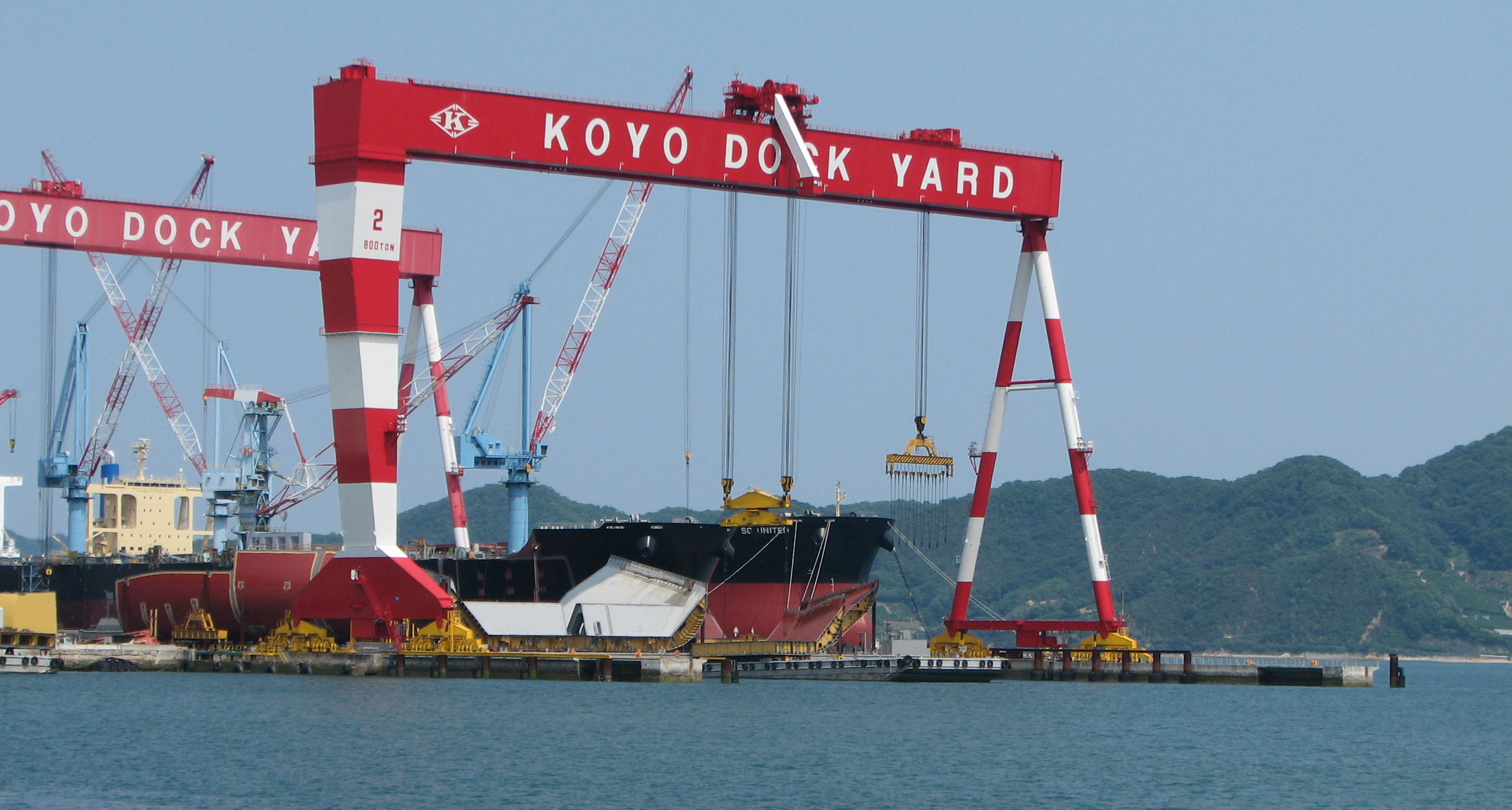
| current | 11:14, 7 June 2012 | | 2,764 × 1,480 (2.49 MB) | トトト (talk | contribs) | {{Information |Description={{ja|1=幸陽船渠・第1号造船船渠。広島県三原市幸崎能地2丁目。被写体位置は[http://www.mapion.co.jp/m/34.329437266803055_133.042986418648_... |
You cannot overwrite this file.
File usage on Commons
The following 2 pages use this file:
File usage on other wikis
The following other wikis use this file:
- Usage on ja.wikipedia.org
- Usage on ru.wikipedia.org
- Usage on www.wikidata.org