File:MD Route 53.svg
Aller à la navigation
Aller à la recherche

Taille de cet aperçu PNG pour ce fichier SVG : 600 × 600 pixels. Autres résolutions : 240 × 240 pixels | 480 × 480 pixels | 768 × 768 pixels | 1 024 × 1 024 pixels | 2 048 × 2 048 pixels | 2 400 × 2 400 pixels.
Fichier d’origine (Fichier SVG, nominalement de 2 400 × 2 400 pixels, taille : 10 kio)
Légendes
Légendes
Ajoutez en une ligne la description de ce que représente ce fichier
Description
[modifier]
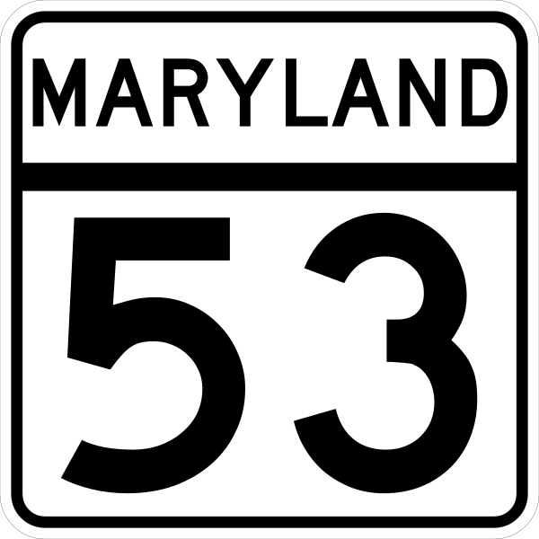
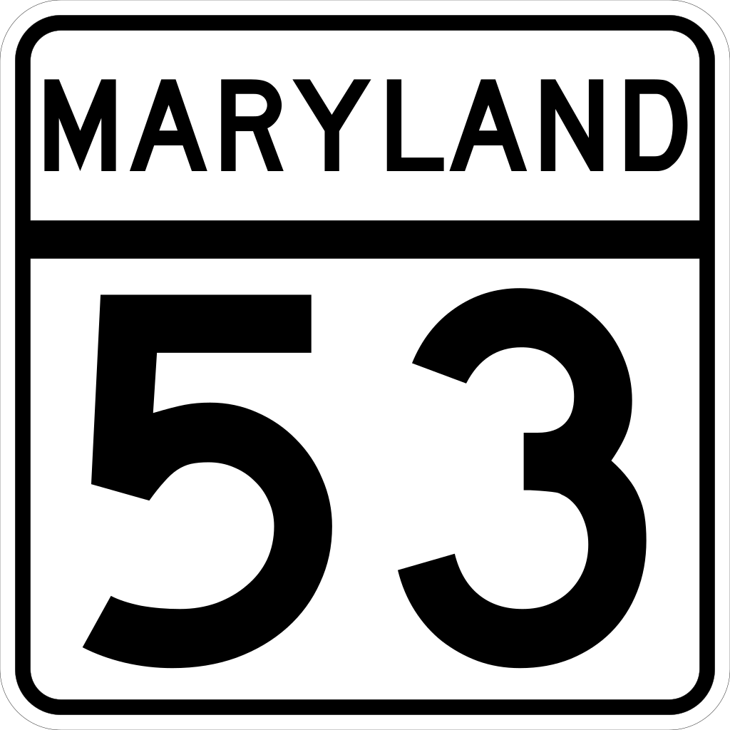
| Description | The route marker for Maryland State Highway 53. Made according to http://www.marylandroads.com/businesswithsha/bizstdsspecs/desmanualstdpub/publicationsonline/oots/pdf/M1-5.pdf |
| Date | 22 février 2006 (date de téléversement originale) |
| Source | Travail personnel |
| Auteur | Jeff02 |
| SVG information | Cette image vectorielle SVG a été créée avec Inkscape. |
Conditions d’utilisation
[modifier]
This file is in the public domain because it comes from the Maryland Manual on Uniform Traffic Control Devices, sign number M1-5, which states specifically in its introduction, on page iii that:
|
Historique du fichier
Cliquer sur une date et heure pour voir le fichier tel qu'il était à ce moment-là.
| Date et heure | Vignette | Dimensions | Utilisateur | Commentaire | |
|---|---|---|---|---|---|
| actuel | 22 février 2006 à 04:46 | | 2 400 × 2 400 (10 kio) | Jeff02 (d | contributions) | The route marker for Maryland State Highway 53. I made this image myself using Inkscape. Made according to http://www.marylandroads.com/businesswithsha/bizstdsspecs/desmanualstdpub/publicationsonline/oots/pdf/M1-5.pdf [[Category:Maryland state highway |
Vous ne pouvez pas remplacer ce fichier.
Utilisations locales du fichier
Les 3 pages suivantes utilisent ce fichier :
Utilisations du fichier sur d’autres wikis
Les autres wikis suivants utilisent ce fichier :
- Utilisation sur en.wikipedia.org
- Allegany County, Maryland
- List of highways numbered 53
- Route 54 (Maryland–Delaware)
- Maryland Route 51
- Maryland Route 53
- U.S. Route 220 in Maryland
- User:Algorerhythms/MD Route Table
- User:Algorerhythms/MD Route Table split
- U.S. Route 40 Alternate (Keysers Ridge–Cumberland, Maryland)
- List of state highways in Maryland
- User:Epzik8/sandbox
- Wikipedia:WikiProject U.S. Roads/Redirects/Maryland/1-99
- Utilisation sur es.wikipedia.org
- Utilisation sur fr.wikipedia.org
- Utilisation sur ja.wikipedia.org
- Utilisation sur www.wikidata.org
- Utilisation sur zh-min-nan.wikipedia.org