File:MTBL1416See-Sand1880.jpg
Jump to navigation
Jump to search
Size of this preview: 497 × 600 pixels. Other resolutions: 199 × 240 pixels | 398 × 480 pixels | 636 × 768 pixels | 849 × 1,024 pixels | 2,362 × 2,850 pixels.
Original file (2,362 × 2,850 pixels, file size: 7.89 MB, MIME type: image/jpeg)
Captions
Captions
Add a one-line explanation of what this file represents
Summary[edit]
| Description |
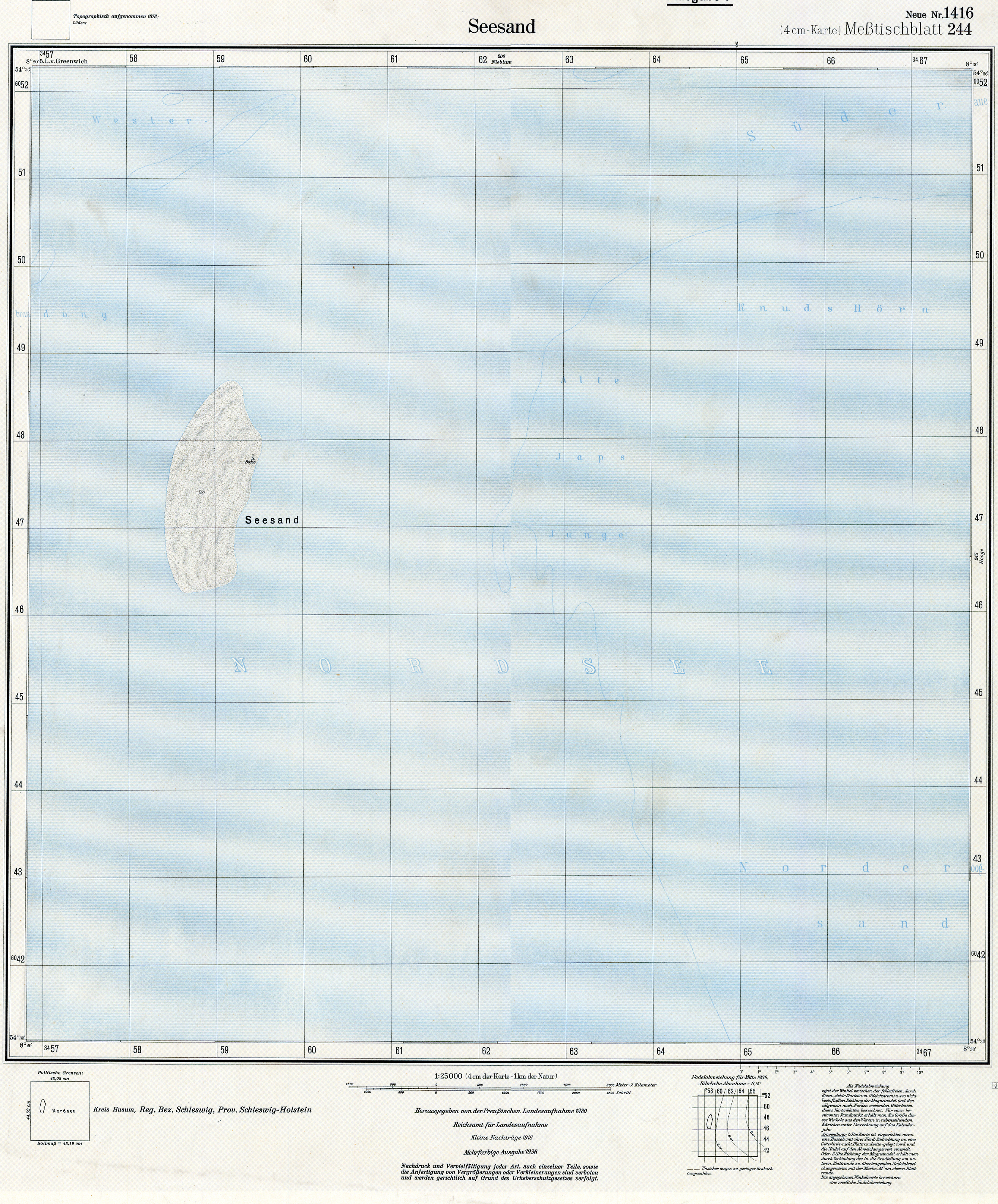
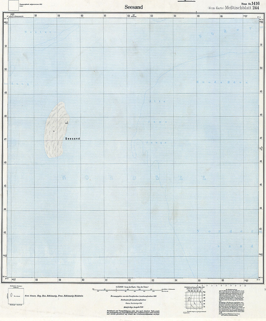
English: topographic map sheet "Seesand", North Frisian Islands, Germany |
| Date | (original work of 1880) |
| Source | http://greif.uni-greifswald.de/geogreif/geogreif-content/upload/mtbl/MTBL1416See-Sand1916Kopie.jpg |
| Author | Preußische Landesaufnahme |
Licensing[edit]
|
This work is in the public domain in its country of origin and other countries and areas where the copyright term is the author's life plus 100 years or fewer. | |
| This file has been identified as being free of known restrictions under copyright law, including all related and neighboring rights. | |
File history
Click on a date/time to view the file as it appeared at that time.
| Date/Time | Thumbnail | Dimensions | User | Comment | |
|---|---|---|---|---|---|
| current | 21:25, 14 December 2012 | | 2,362 × 2,850 (7.89 MB) | Ratzer (talk | contribs) | {{Information |Description ={{en|1=topographic map sheet "Seesand", North Frisian Islands, Germany}} |Source =http://greif.uni-greifswald.de/geogreif/geogreif-content/upload/mtbl/MTBL1416See-Sand1916Kopie.jpg |Author =Preußische Lan... |
You cannot overwrite this file.
File usage on Commons
There are no pages that use this file.
File usage on other wikis
The following other wikis use this file: