File:Map Dalnevostochny Kraj.png
Jump to navigation
Jump to search

Size of this preview: 501 × 599 pixels. Other resolutions: 201 × 240 pixels | 401 × 480 pixels | 793 × 948 pixels.
Original file (793 × 948 pixels, file size: 44 KB, MIME type: image/png)
Captions
Captions
Add a one-line explanation of what this file represents
Summary[edit]
| Description |
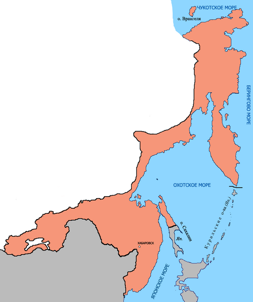
English: Map of Far-Eastern kraj (1929)
Русский: Карта территории Дальневосточного края (1929 год) |
| Date | 24 July 2009 (original upload date) |
| Source | Own work |
| Author | Processed by A. Sdobnikov |
Licensing[edit]
| I, the copyright holder of this work, release this work into the public domain. This applies worldwide. In some countries this may not be legally possible; if so: I grant anyone the right to use this work for any purpose, without any conditions, unless such conditions are required by law. |
File history
Click on a date/time to view the file as it appeared at that time.
| Date/Time | Thumbnail | Dimensions | User | Comment | |
|---|---|---|---|---|---|
| current | 05:31, 26 July 2009 | | 793 × 948 (44 KB) | Сдобников Андрей (talk | contribs) | дополнено |
| 11:43, 24 July 2009 |  | 793 × 948 (36 KB) | Сдобников Андрей (talk | contribs) | исправлено | |
| 11:29, 24 July 2009 |  | 793 × 948 (33 KB) | Сдобников Андрей (talk | contribs) | {{Information |Description={{en|1=Map of Far-Eastern kraj (1929)}} {{ru|1=Карта территории Дальневосточного края (1929 год)}} |Source=own-work |Author=Processed by A. Sdobnikov |Date=20 |
You cannot overwrite this file.
File usage on Commons
There are no pages that use this file.
File usage on other wikis
The following other wikis use this file:
- Usage on ru.wikipedia.org