File:Map of USA PR full.svg
Jump to navigation
Jump to search

Size of this PNG preview of this SVG file: 159 × 112 pixels. Other resolutions: 320 × 225 pixels | 640 × 451 pixels | 1,024 × 721 pixels | 1,280 × 902 pixels | 2,560 × 1,803 pixels.
Original file (SVG file, nominally 159 × 112 pixels, file size: 379 KB)
Captions
Captions
Add a one-line explanation of what this file represents
Summary[edit]
| Description |
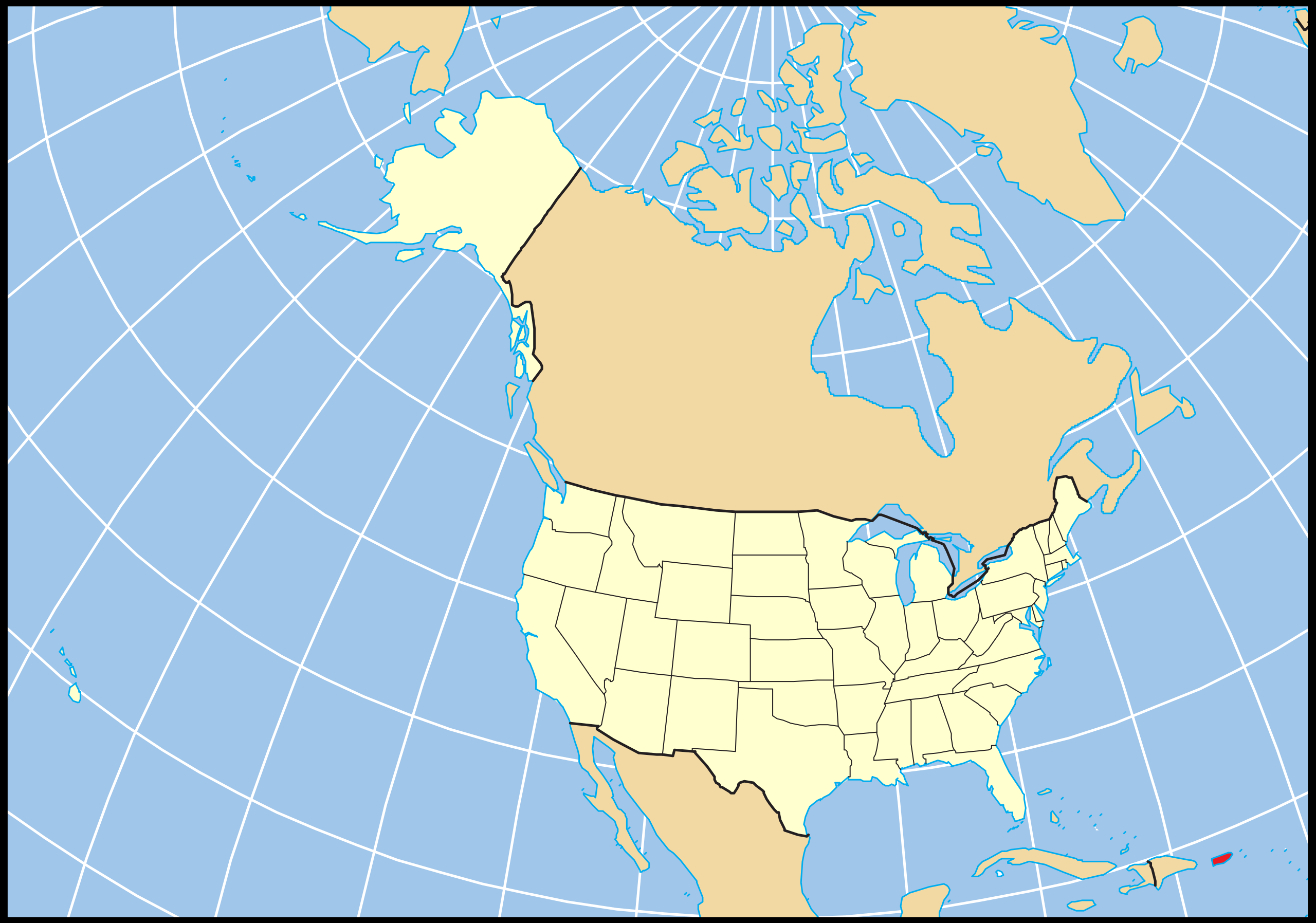
English: Map of the U.S. and Puerto Rico relative to the rest of the country using a constant projection. A vector reproduction of Map of USA AK full.png based on the public domain location map from [1].
Español: =Mapa del estado libre asociado estadounidense de Puerto Rico relativo al resto del país usando una proyección constante. Una reproducción vectorial basada en el mapa de dominio público de National Atlas. |
| Date | |
| Source | File:Map_of_USA_AK_full.svg |
| Author | Vrysxy |
| Other versions |
|
Licensing[edit]
I, the copyright holder of this work, hereby publish it under the following licenses:

|
Permission is granted to copy, distribute and/or modify this document under the terms of the GNU Free Documentation License, Version 1.2 or any later version published by the Free Software Foundation; with no Invariant Sections, no Front-Cover Texts, and no Back-Cover Texts. A copy of the license is included in the section entitled GNU Free Documentation License. |
This file is licensed under the Creative Commons Attribution-Share Alike 4.0 International, 3.0 Unported, 2.5 Generic, 2.0 Generic and 1.0 Generic license.
- You are free:
- to share – to copy, distribute and transmit the work
- to remix – to adapt the work
- Under the following conditions:
- attribution – You must give appropriate credit, provide a link to the license, and indicate if changes were made. You may do so in any reasonable manner, but not in any way that suggests the licensor endorses you or your use.
- share alike – If you remix, transform, or build upon the material, you must distribute your contributions under the same or compatible license as the original.
You may select the license of your choice.
File history
Click on a date/time to view the file as it appeared at that time.
| Date/Time | Thumbnail | Dimensions | User | Comment | |
|---|---|---|---|---|---|
| current | 19:24, 16 July 2011 | | 159 × 112 (379 KB) | Vrysxy (talk | contribs) | {{Information |Description ={{en|1=Map of the U.S. Commonwealth State of Puerto Rico relative to the rest of the country using a constant projection. A vector reproduction of Map of USA AK full.png based on the public d |
You cannot overwrite this file.
File usage on Commons
There are no pages that use this file.
File usage on other wikis
The following other wikis use this file:
- Usage on es.wikipedia.org
- Wikiproyecto:Estados Unidos/Localidades/Barrio
- Wikiproyecto:Estados Unidos/Localidades/Barrio2
- Aguacate (Yabucoa)
- Aguas Blancas (Yauco)
- Aguirre (Salinas)
- Algarrobo (Yauco)
- Algarrobo (Vega Baja)
- Algarrobos
- Almácigo Alto
- Almácigo Bajo
- Almirante Norte
- Almirante Sur
- Lapa (Salinas)
- Salinas (Salinas)
- Palmas (Salinas)
- Quebrada Yeguas
- Río Jueyes
- Yeguada (Vega Baja)
- Yauco (Yauco)
- Yabucoa (Yabucoa)
- Villalba (Villalba)
- Villalba Arriba
- Villalba Abajo
- Vegas (Yauco)
- Vega Baja (Vega Baja)
- Vega Alta (Vega Alta)
- Vacas (Villalba)
- Trujillo Bajo
- Trujillo Alto (Trujillo Alto)
- Tejas (Yabucoa)
- Bajura (Vega Alta)
- Barina (Yauco)
- Barrazas
- Bateyes
- Bayamón (Bayamón)
- Boca Velázquez
- Buena Vista (Bayamón)
- Cabo Caribe
- Cacao (Carolina)
- Caimito (Yauco)
- Calabazas (Yabucoa)
- Camino Nuevo
- Candelaria (Vega Alta)
- Candelaria (Toa Baja)
- Cangrejo Arriba
- Canovanillas
- Caonillas Abajo (Villalba)
- Caonillas Arriba (Villalba)
- Carolina (Carolina)
- Carraízo (Trujillo Alto)
View more global usage of this file.