File:Mapoch.- Ndebele Cultural Village (6).jpg
Jump to navigation
Jump to search
Size of this preview: 799 × 600 pixels. Other resolutions: 320 × 240 pixels | 640 × 480 pixels | 1,024 × 768 pixels | 1,280 × 960 pixels | 2,251 × 1,689 pixels.
Original file (2,251 × 1,689 pixels, file size: 732 KB, MIME type: image/jpeg)
Captions
Captions
Add a one-line explanation of what this file represents
Summary
[edit].jpg&action=edit§ion=1)
| Description |
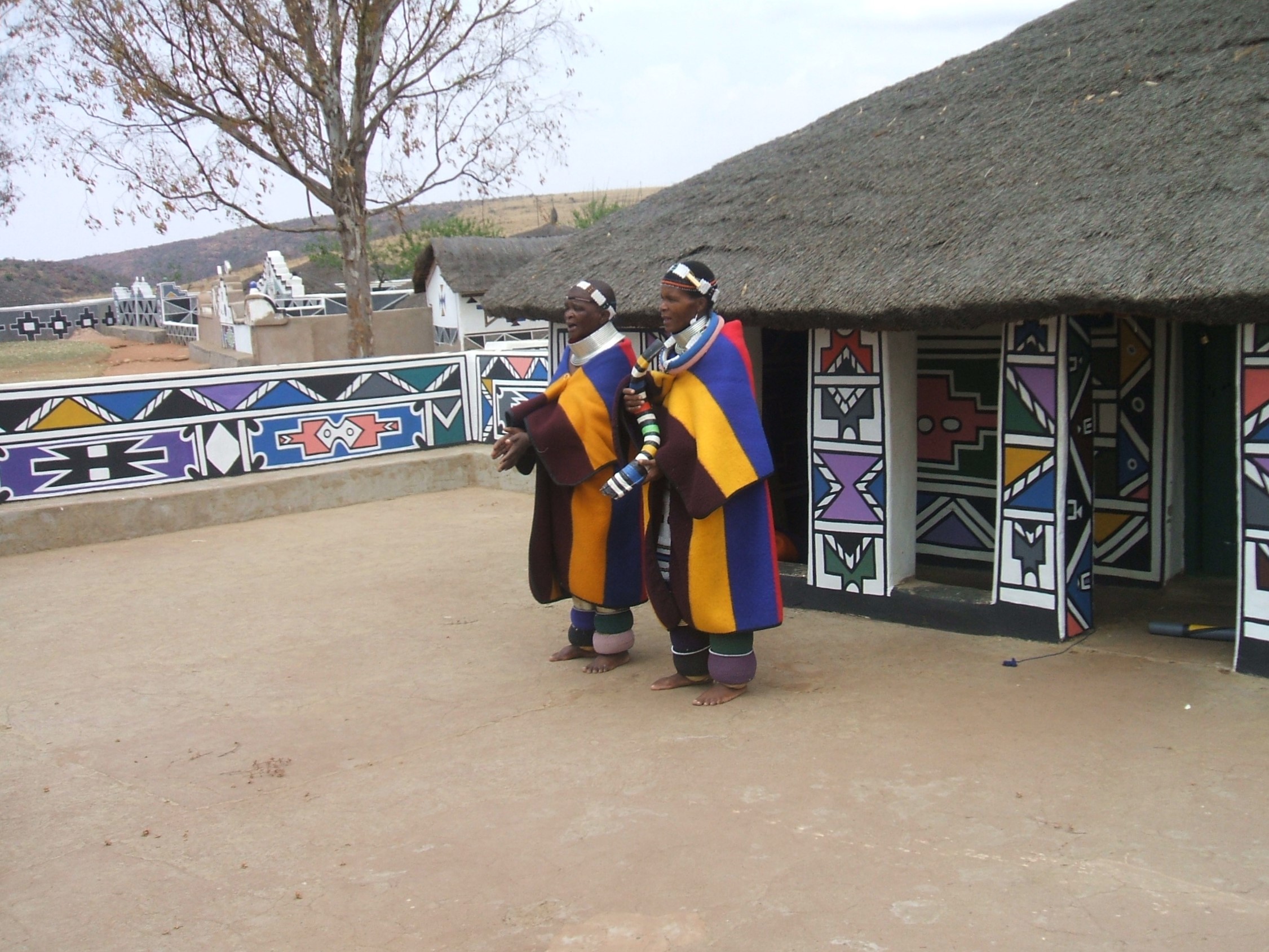
English: Ndebele Teachers Training Français : Femmes Ndébéle devant leur case à Botshabelo, un site du patrimoine provincial dans Middelburg dans la province de Mpumalanga d'Afrique du Sud.
|
||
| Date | |||
| Source | Own work | ||
| Author | PIERRE ANDRE LECLERCQ |
| Object location | | View this and other nearby images on: OpenStreetMap |
|---|
.jpg¶ms=-25.702429_N_0029.406780_E_globe:Earth_class:object_type:object__&language=en)
Licensing
[edit].jpg&action=edit§ion=2)
I, the copyright holder of this work, hereby publish it under the following licenses:

|
Permission is granted to copy, distribute and/or modify this document under the terms of the GNU Free Documentation License, Version 1.2 or any later version published by the Free Software Foundation; with no Invariant Sections, no Front-Cover Texts, and no Back-Cover Texts. A copy of the license is included in the section entitled GNU Free Documentation License. |
This file is licensed under the Creative Commons Attribution-Share Alike 4.0 International, 3.0 Unported, 2.5 Generic, 2.0 Generic and 1.0 Generic license.
- You are free:
- to share – to copy, distribute and transmit the work
- to remix – to adapt the work
- Under the following conditions:
- attribution – You must give appropriate credit, provide a link to the license, and indicate if changes were made. You may do so in any reasonable manner, but not in any way that suggests the licensor endorses you or your use.
- share alike – If you remix, transform, or build upon the material, you must distribute your contributions under the same or compatible license as the original.
You may select the license of your choice.

|
This image was uploaded as part of Wiki Loves Africa 2016.
|
 |
File history
Click on a date/time to view the file as it appeared at that time.
| Date/Time | Thumbnail | Dimensions | User | Comment | |
|---|---|---|---|---|---|
| current | 10:26, 15 December 2014 | | 2,251 × 1,689 (732 KB) | Pierre André Leclercq (talk | contribs) |
You cannot overwrite this file.
File usage on Commons
The following page uses this file:
File usage on other wikis
The following other wikis use this file:
- Usage on af.wikipedia.org
- Usage on da.wikipedia.org
- Usage on en.wikipedia.org
- Usage on it.wikipedia.org
- Usage on nso.wikipedia.org
- Usage on www.wikidata.org
.jpg&oldid=699626558)