File:Mappa di Sciotel (IGM 1909).jpg
Jump to navigation
Jump to search

Size of this preview: 546 × 600 pixels. Other resolutions: 218 × 240 pixels | 437 × 480 pixels | 699 × 768 pixels | 932 × 1,024 pixels | 1,508 × 1,657 pixels.
Original file (1,508 × 1,657 pixels, file size: 514 KB, MIME type: image/jpeg)
Captions
Captions
Add a one-line explanation of what this file represents
Summary[edit]
.jpg&action=edit§ion=1)
| Description |
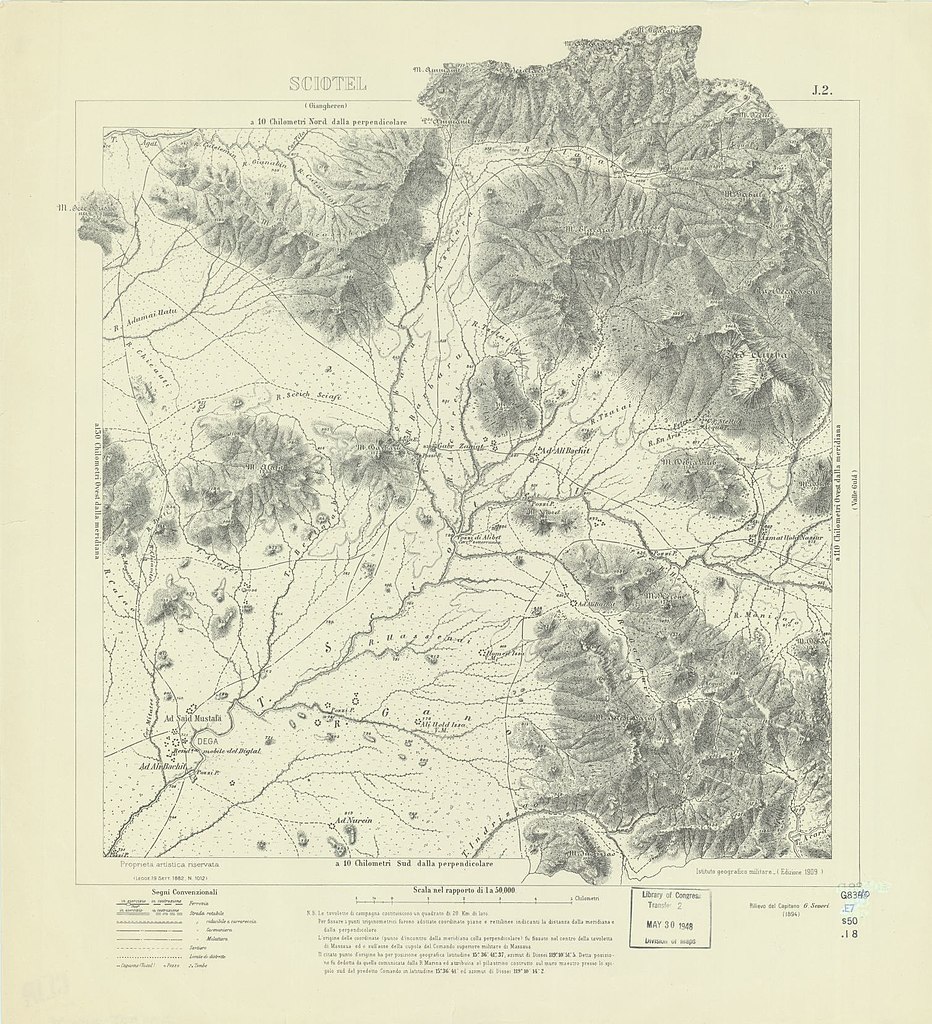
Italiano: Mappa del territorio di Sciotel (Eritrea) a cura dell'Istituto Geografico Militare (edizione 1909), su rilievi del 1894 del capitano G. Severi. |
| Date | |
| Source | https://www.loc.gov/resource/g8340m.g2009578537/?sp=35&r=0.065,0.789,0.806,0.275,0 |
| Author | Istituto Geografico Militare |
Licensing[edit]
.jpg&action=edit§ion=2)
|
This work is in the public domain in its country of origin and other countries and areas where the copyright term is the author's life plus 70 years or fewer. This work is in the public domain in the United States because it was published (or registered with the U.S. Copyright Office) before January 1, 1929. | |
| This file has been identified as being free of known restrictions under copyright law, including all related and neighboring rights. | |
File history
Click on a date/time to view the file as it appeared at that time.
| Date/Time | Thumbnail | Dimensions | User | Comment | |
|---|---|---|---|---|---|
| current | 08:34, 10 October 2022 | | 1,508 × 1,657 (514 KB) | Candalua (talk | contribs) | versione originale senza sovrastampe |
| 08:24, 10 October 2022 |  | 1,788 × 2,303 (1.05 MB) | Candalua (talk | contribs) | Uploaded a work by Istituto Geografico Militare from https://www.loc.gov/resource/g8340m.gct00182/?sp=25&st=image&r=-1.39,-0.054,3.781,1.431,0 with UploadWizard |
You cannot overwrite this file.
File usage on Commons
There are no pages that use this file.
File usage on other wikis
The following other wikis use this file:
- Usage on it.wikipedia.org
.jpg&oldid=860601317)